Australia So Much to See

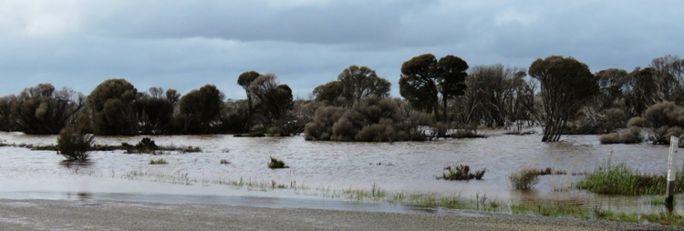
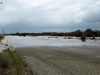
We commenced our tour heading east into the wheatbelt. A few days prior the road at between Moodiarup and Bokal looked like
this for some way. Not daunting, but we were pleased to see the road no longer under water. However, with the river so
high, the ground roadside was under water or sodden.
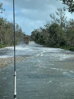
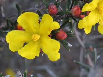
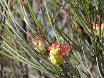
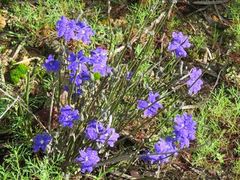
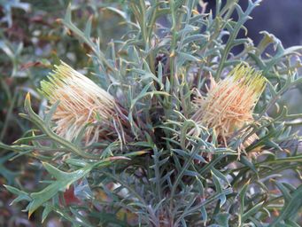
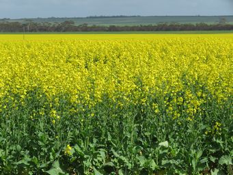
Heading north from Lake Grace, recent rains had left water across the road in a number of places, and wheat crops were growing nicely
from the wonderful wet winter. Our route north took us through Karlgarin and Kondinin.
By 1910, the Narembeen district consisted of a collection of small centres. The siding of South Kumminin was opened in 1917, using
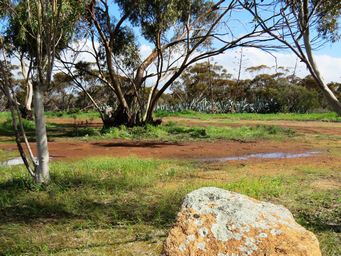
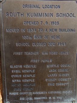
the name Arrowsmith. The South Kumminin School opened in 1925, and now a stand of Yuccas marks the location. In
1934 the school was moved to a new building 100 metres west of the picnic area. The school operated until 1949.
Above mural introduces the town and it long term main industry; wheat farming.
Clock tower above right.
The Grain Discovery Centre at right focuses on grain growing in Western Australia. Learn more about
farming in Narembeen and browse at the interpretive displays as you discover some of the history and future of grain growing in Narembeen.
Exhibits include a 1950s farm house kitchen, a ‘humpy’, a grain stack, an interactive CBH area with weighbridge and hut, displays
on the future of farming and a supermarket showing end products, like breakfast cereals and bread. The centre also has an interactive
agribusiness section, an export area detailing the journey of grain from farm paddock to overseas markets and displays on the future
of farming. All for just a gold coin donation on entry.
The first European explorer into the Narembeen area was Surveyor General J. S. Roe who, in 1836, camped near a rocky outcrop which
he named Emu Hill. The name Narembeen is believed to be the Aboriginal name for what Roe called Emu Hill.
The whole
area was sparsely populated until the beginning of the twentieth century when land was opened up and farmers moved in to graze sheep
and grow wheat.
The siding of Emu Hill was five kilometres south of the present Narembeen townsite. In 1920 Emu Hill was the
largest centre but the local community, when confronted with the possibility of building a hotel, opposed the plan and suggested a
coffee palace or temperance hotel.
Perth lawyer, Henry Hale, and a Perth publican, Paddy Connolly realised the problems that
were being created by the teetotal community at Emu Hill. They purchased thirty acres (about twelve hectares) of land at Narembeen,
obtained permission to build a pub, then sold off the rest of the land to prospective residents of their ‘private town’. Although
local government was established and administered by a Road Board in Narembeen in 1924, the private town status was not rescinded
until 1968.
The pub was all that was needed to overwhelm the struggling nearby settlements and become the centre for the whole
area. By 1925 Narembeen had a population of 2100.
Narembeen is now a thriving centre for an agricultural area. Gold mining
had recently commenced near the town.