Australia So Much to See


< Previous
travasmtc2005002002.gif
Next page >
Home
Travelogues
Tips and Hints
Lists and Links
Q & A
Contact
< Previous
travasmtc2005002002.gif
Next page >
Home
Travelogues
Tips and Hints
Lists and Links
Q & A
Contact
Home > Travelogues > 2005 Travelogues Index > Eyre Highway South Australia
In January 2005 we looked for cooler shores as we crossed the Nullarbor to tour the Eyre Peninsula in South Australia
Short version only - full version with pictures yet to come

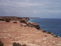
The Bunda Cliffs, seen soon after crossing into South Australia, can be viewed from various lookouts.  In 2004 and 2005 there were eight viewing areas, but due to crumbling cliffs, most of these have now been closed.  Walking along the edge of the Great Australia Bight and looking down into the ocean below is quite an awesome experience, but watching from a different angle and seeing people walking over an undercut area quite oblivious to the danger is not.  


We discovered our now favourite Nullarbor hideaway; hidden in the scrub and just far away from the highway to reduce the noise of the trucks for a peaceful night.  Staying the night near the cliff edge can be quite spectacular but is often windy. 


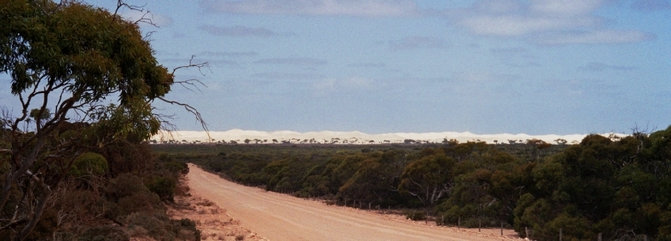
With cliffs to the west and sand dunes to the east, at the Head of Bight there are whale watching platforms with signage and an interpretive centre.  All is very well set out, and it was well worth driving in even though it wasn’t whale season and the interpretive centre was locked.  


travasmtc2005029001.jpg

We drove into Fowlers Bay where the sand dunes are huge and look like they are about to swallow the tiny town.  They are moving at a rate of eleven metres per year.   Popular surfing spot Cactus Beach is in the vicinity. 


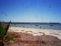
It was very windy as we went out onto the 300 metre long jetty.  Eyre Peninsula coastal towns have very good jetties.  Historic jetties have been replaced with shorter jetties and most have a night light at the end and a chart showing fish species and bag limits of each if applicable. 


From Ceduna we left the Eyre Highway to tour the Eyre Peninsula, starting with the western side. 


tn_bundacliffs2005.jpg tn_jettyceduna.jpg tn_eyredingo.jpg
Continue reading >
Want to know more? Ask us

Back to top ^

Copyright (C) 2013 AustraliaSoMuchtoSee.com. All rights reserved
See also Chris and Valdis's Nullarbor trip 2016

See also Crossing the Nullarbor for all you need to know including distances, where to get fuel, camping with or without services, and safety.   

Crossing the Nullarbor Eyre Highway South Australia

See also more Eyre travelogues from 2009