Australia So Much to See


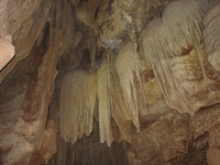
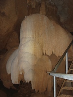
On first entering the cave, it was cool, but became much warmer as we descending into the warm and steamy air. We were descending
down into
The Cutta Cutta caves were probably formed about twenty million years ago when the climate was much wetter. The limestone layer
found throughout the Katherine district was laid down under a shallow sea in the Cambrian period (590 – 505 million years ago) and
marine fossils can be found in the local rocks.
A large visitor centre taking bookings for accommodation, helicopter and boats rides and canoe hire was packed with bus loads of tourists. The big commercial caravan park was very different from the campgrounds we were used to finding in National Parks but it was still
a peaceful out of town environment and an ideal situation for talking walks.
Katherine, being the fourth largest town in the
Within the townsite, hot springs which come out of the ground at a comfortably warm 32º F and these have been made easy to access with steps, boardwalks and concrete sides to the stream.
The
Reluctantly leaving Mataranka, we resumed our northward journey. Twelve kilometres north of Mataranka we were again reminded
of the War effort that took place in the
The guided one hour tour of the cave takes visitors through 250 metres of its 750 metre length. It may be closed during the
wet season due to flooding.
To Katherine and the Nitmiluk National Park
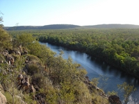
As the late afternoon air cooled a little, we took the steep climb to the lookout over the Gorge as the boats returned down the River.
We took the Baruwei woodlands walk along the escarpment as it widens away from the river. The trail then looped back to the
campground as we completed our walk in fading daylight.
This walk also forms the first part the 39 kilometre southern walks trail, which has spur walks to reach different features along
the Gorge heading upstream. Some of the walks are quite challenging. Taking these adds a considerable distance to the
overall walk. Overnight camping is permitted only at designated places, and walkers must register before leaving and ensure
they deregister on return. Registering for day walks is optional. We had chosen a much easier way.
For the more adventurous, the 58 kilometre Jatbula Trail, which links Katherine Gorge and Leliyn (
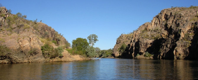
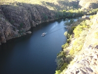
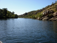
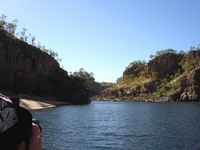
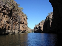
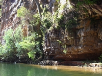
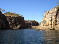
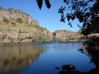
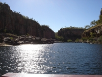
Next morning we took the boat tour through the first two gorges. There are a total of thirteen gorges, each separated by rock
barriers during the dry season. Gorges become progressively smaller heading upstream. Boat tours can be taken through
three gorges, and each entrance involves a short walk to moored smaller boats for the next section.
The evening boat tour with dinner served on board is a very popular cruise of the first two gorges, during which the gorge walls are
lit up. The breakfast cruise was also highly recommended. We had neighbouring caravanners who took these tours and both
parties were very enthusiastic about the range and quality of meals served.
Canoes can be hired, or if using own canoes, registration and a small fee is required. Power boats can only be used in the gorge
outside of the months of June, July and August, and again registration is necessary. Fishing may be undertaken by lure
only – no bait.
The first gorge is 3.2 kilometres long and eight metres deep, to thirteen metres deep during a normal wet season.
The second gorge is 2.4 kilometres long. During the floods of 1998, water was only fifteen metres from the tops of the cliffs
in this gorge, and almost as high again in 2006.
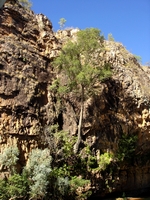
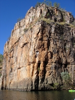
Jedda’s Leap rises 63 metres above the water and was used for the final seen in the movie Jedda when the lovers leap to their deaths. However this scene was not the one in the final movie as a plane crash resulted in the loss of the films taken, and in haste, the
scene was reconstructed in the
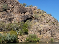
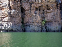
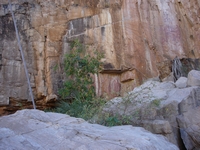
Sandstone was laid down 1,650 million years ago then 250 million years ago it was uplifted and a rift formed which now forms the river
system through the gorge.
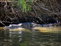
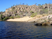
Every sandy beach showed evidence of Freshwater Crocodile tracks. These are the nesting sites, with around thirteen eggs
being laid per nest between July and September. The kapok flowers indicate the time of the breeding year, with nesting time
nearing when the kapok comes into bloom. Eggs are laid as the kapok trees pod and when the pods burst to distribute their seeds,
the crocodile eggs are hatching.
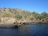
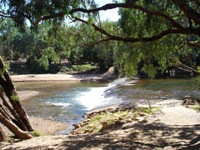
The power of the river in full flow can be seen from the angle of the trees by the water’s edge.
We headed around thirty kilometres north east along the
We see the sights around Katherine, including Cutta Cutta caves and take a boat ride through Katherine Gorge. We visit Leliyn
(