Australia So Much to See
Girraween National Park in the Granite Belt
A loop walk continues to this arch, which everyone must walk through. A loop walk continues to this arch which everyone must walk through.
A longer walk includes Castle Rock, The Sphinx and Turtle Rock and took us three hours. A full day walk to the highest point in Girraween National Park, Mount Norman, diverges at Castle Rock. We did not take the Mount Norman walk. Mount Norman is 1,267 metres above sea level, whereas Castle Rock is 1,112 metres.
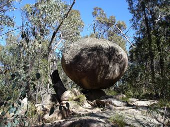
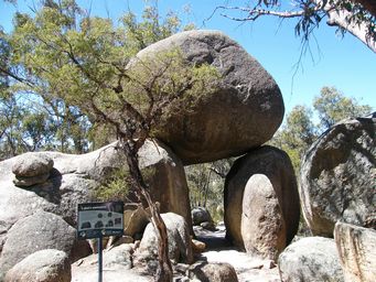
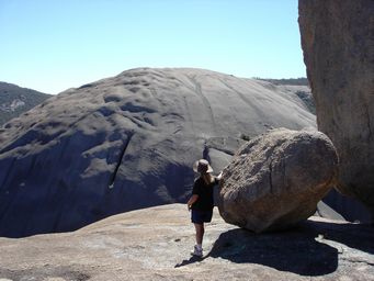
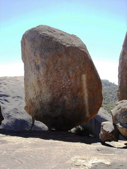
Like giant marbles, balancing rocks can be seen along a number of walk trails.
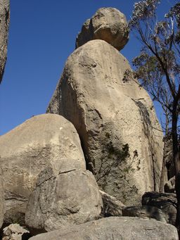
Towering head and shoulders above the surrounding rocks, this formation known as The Sphinx dominates at the top of a rocky knoll.
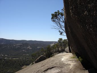
After a steep ascent, walking through a tunnel brings views and a relatively narrow and steep slope. One again my husband was
not well enough to do the full Castle Rock climb with me. This is not quite to the summit, but once again being on my own and
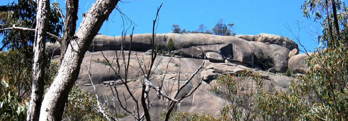
on a Girra-scream slope, I did not go right to the top. Having seen this from the distance when approaching Castle
Rock, as below, I did not feel confident to walk to the far end and up onto the top layer alone.
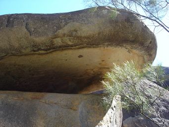
The “mouth” of the turtle shaped formation on another large outcrop (at right).
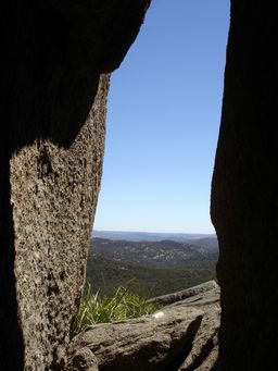
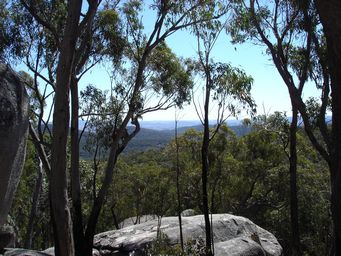
From this rock (above), one of the cluster of large boulders around The Sphinx, you can see all the way to New South Wales, where The Granite Belt continues into the Bald Rock National Park. A long walk can take you there, but we had plans to spend some time in the Granite Belt parks when we reached New South Wales.
With a new day and fine weather, we commenced some higher walks.
The Pyramid walk, at first crossing Bald Rock Creek,
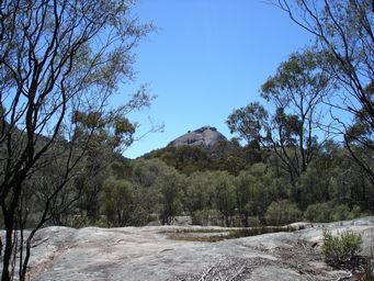
reaches a pointed peak known as The Pyramid.
Scaling this rock is not highly challenging, but the last section is quite steep and on smooth granite, so was not something my husband was willing to tackle while ill. I climbed the rest of the way.
A further pyramid shaped hill has no marked trail and is for very experienced rock climbers only.
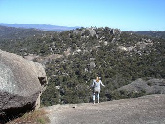
Talking to a former local of the area, he said they called it Girra-scream, with the steep drops from the top of the granite peaks. A young lady heads down Girra-scream.
The steepness can be gauged from the photo of the peak in the distance as seen in the first photo of this series.
You can see the steepness of this rock in a Youtube video.
Where we stayed: Note upgrades have no showers at campgrounds, and most caravan sites small. Additional campgrounds added in the
park. Must book on line. Castle Rock campground which has time restricted warm showers (while the warm water lasts). Water
taps around camp sites with untreated creek water. As we were approaching a long weekend, not only was it necessary to use the
Queensland Parks on line booking system to ensure a booking, but we had to arrive earlier to ensure we found a spot we could fit into
as caravan sites are limited and are not allocated by the booking system. We stayed not too far away the previous night so we
could arrive during the morning. Caravanners arriving later had to squeeze in alongside us and very close behind to fit. We all had to depart at the same time as only the ones in the front like us could move out. The location was pleasant.
Granite is an igneous rock comprising crystals of quartz, feldspar, mica and/or hornblende or pyroxene. The colour of most granites
ranges from pink to cream, white and grey, and generally reflects the colour of the dominant feldspars. Many granites contain straight,
parallel-sided, cream or pink veins of pegmatite.
The Granite in the Queensland new South Wales Granite Belt is Stanthorpe Adamellite
or Stanthorpe Monzogranite, which erodes to a poor white sand, as evident on the white roads and paths through the Girraween, Basket
Swamp and Boonoo Boonoo National Parks.
The five main minerals in Stanthorpe Granite are:
Potassium feldspar (50%), a chalky, light brown-pink mineral with fine straight parallel cracks running through it
Plagioclase feldspar (10%), a chalky, white mineral
Quartz (30%), a very hard, glassy light grey or
clear and colourless mineral
Biotite mica (7%), a shiny, black, flaky mineral that sparkles in the sunlight
Hornblende (3%), a shiny, black mineral.
In contrast, the Granite of Western Australia erodes to form a rich red soil.
From references
Girraween National Park and Royal Society of Western Australia