Australia So Much to See


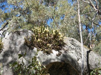
The path goes through a narrow tunnel formed by a cluster of rocks.
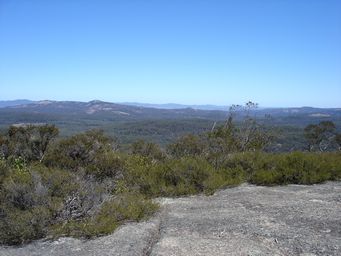
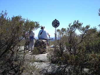
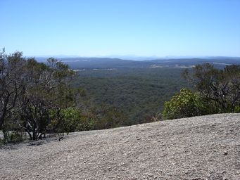
From the summit there are views to Mount Barney, and to Mount Lindesay 86 kilometres to the north (at right).
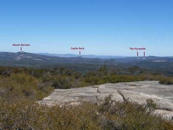
To the west we looked into Girraween National Park in Queensland and identified the peaks we had visited and climbed a few days earlier; The Pyramids and Castle Rock (below and marked below right), as well as the peak Mount Norman which we had not climbed.
We walked down the same way, then drove around to the start of the steep Rockface trail.
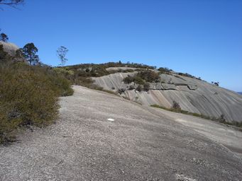
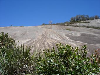
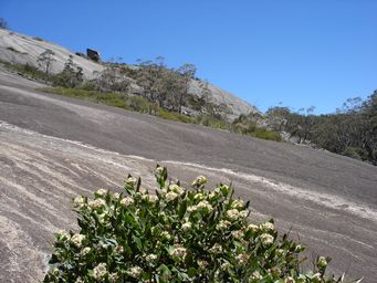
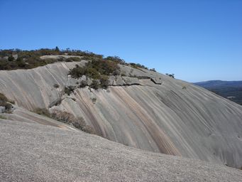
The steep trail was not difficult as the rough surface of the granite rock gives a good grip, however walking 1.5 kilometres up very steep slopes would be exhausting. White arrows and dots painted on the rock mark the best way. I would have felt confident going up, but would not have tackled it going down.
A border walk along the crests of the range is a twelve kilometre loop.
We did not take this longer walk. There is an additional 6.5 kilometre return walk to Little Bald Rock, to the south of
Bald Rock.
Bald Rock, near Tenterfield, New South Wales
Bald Rock is New South Wales’ contender for the second largest monolith in Australia and lays claim to being the largest exposed granite
rock in the country. Bald Rock is 750 metres long, 500 metres wide and at the top, 1,277 metres above sea level, being 260 metres
above the surrounding countryside. This large granite outcrop is with the granite belt which spans the New South Wales Queensland
border.
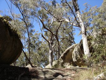
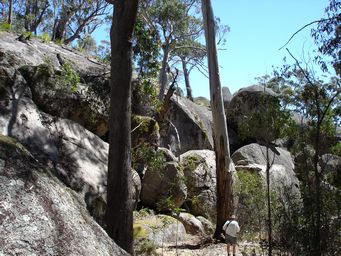
To climb Bald Rock, there are two paths. The Rockface walk trail of 1.5 kilometres starts up a steep slope, and the Bungoona walk
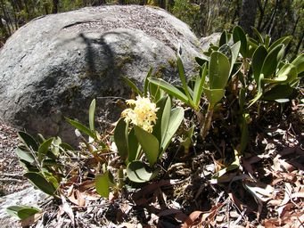
of 2.5 kilometres takes a gentler incline and has the added interest of rock features and flora. The trails merge with the walk to
the summit continuing. We chose the scenic route.