Australia So Much to See


Horrocks - Sea, sun and sand
Who was Horrocks Beach named after? A convict from Cornwall named Joseph Lucas Horrocks Australasian Historical Archaeology moved to Port Gregory in 1853. It is most likely that Horrocks Beach was named in his honour.
John Lucas Horrocks, medical attendant, merchant and mining superintendent was found guilty of forgery and was transported to Fremantle in 1851. In 1852 Horrocks worked in the medical section of the convict establishment at Fremantle. This experience and the scarcity of medical officers led him to apply for the post of medical attendant at Port Gregory.
In 1854 Horrocks went to Wanerenooka (Northampton) where Joseph Horrocks opened a store, took an interest in agriculture and was knowledgeable enough to experiment with such crops as tobacco, hops, fruit and wheat, believing that the lack of fresh fruit and vegetables was a prime factor in the high incidence of scurvy. As Postmaster, he achieved improved postal services. He campaigned for a railway line to Champion Bay, and constructed a road. He was involved with the Wanerenooka mine and started several other mines, included Gwalla. He also built a non-denominational church at Gwalla.
Horrocks Beach
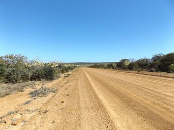
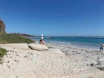
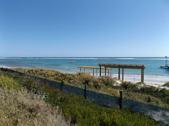
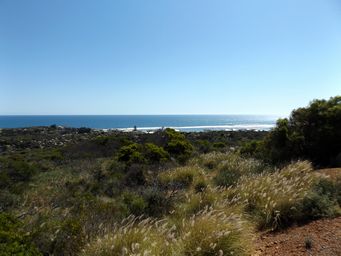
Although now called Horrocks, the store and caravan park still use the name Horrocks Beach. 32 kilometres by road south of Port Gregory, Horrocks has a similar reef roughly parallel to the coast creating a calm and safe harbour for swimming and mooring boats. We went via White Cliffs Road near the coast, a twelve kilometre unsealed road.
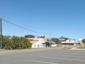
A small fishing and holiday settlement, old shacks and a caravan park are near the beach, with new houses on the surrounding sand hills. There are cabins at the caravan park, as well as cottages available for holiday rental in the town. Similar to our experience at Port Gregory Caravan Park, when we stayed at the caravan park some years ago, there were retirees living permanently in caravans in the park.
We returned to Northampton via the sealed direct route.
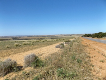
In 2011 Horrocks had a population of 131 people, 196 dwellings of which only 52 were occupied. Wikipedia
The mouth of the Bowes River is several kilometres to the south accessible by four wheel drives. Aboriginal rock painting are at Willy Gully, but we did not know about these.
Horrocks was a traditional holiday, camping and fishing village for early settlers in the 1850ís