Australia So Much to See


Rural Mid West to Coalseam Conservation Park
Mungarra Power Station
Built in 1990 and located fifty kilometres south east of Geraldton close to the Walkaway-Nangetty Raod (south side), Mungarra Gas Turbine Station is fired by natural gas. The Dampier to Bunbury gas line provides natural gas to the station. The three gas turbines have the capacity to produce 112 MW of electricity. The power station is important for voltage support at the northern end of the South West Interconnected System. This station is unique in that it is controlled remotely from Perth. FromSynergy
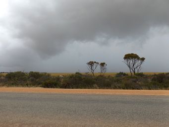
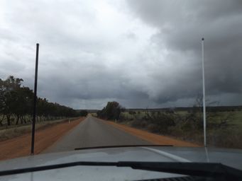
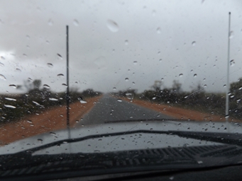
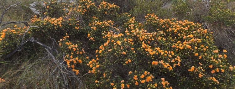
As the terrain rose towards the Walkaway-Nangetty Road, we were once again amongst wind turbines. Following the road east, the undulations gave expansive vistas of farmlands, and the nature strip was rich with wildflowers, but rain was closing on us.

Coalseam Conservation Park
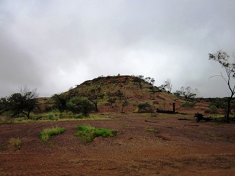
Thirty kilometres north of Mingenew via Coalseam Road this 950 hectare Conservation Park encompasses a gorge on the Irwin River where it has cut down through layers of rock, exposing 250 million years of geological history including a narrow band of coal.
Discovered by the Augustus Gregory and his two brothers in 1846, this site was the first discovery of coal in Western Australia. The quality of coal was low, and the mining proved unviable. Mine shafts can be viewed near the Miners Campground. During WWII the Irwin valley was again mined for a short time, but this too was not viable.
We had stayed and toured Coalseam Conservation Park in May 2003, so wanted to revisit the features of interest again, all the more so as it was spring and the time of the year that wildflowers are abundant in this conservation area. Our previous trip pre-dates my digital photography.
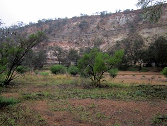
Entering from the north, we stopped at the Riverbend picnic and viewing area. Heavy rain continued. Looking across to the cliff face, the grey line of coal was visible at the lowest section showing here, but the weather not conducive to walking down to the riverbed for a closer look.
What did we see on our previous trip to Coalseam Conservation Park?
Miners Campground
Miners campground is situated above the Irwin River South branch. This campground was redeveloped in 2015. Due to crowding and popularity in spring, camping is limited to three nights during late July to October. Campground hosts are on site during the August to October peak period. Parks camping fees apply. Cross the riverbed to see the old coalmine shafts.
Breakaway campground
An overflow camp ground for peak periods perched on a cliff above the Irwin River. Located within an old gravel pit on the edge of a breakaway, ‘Breakaway’ campsite provides scenic views over the valley as well as an area to set up camp when ‘Miners’ camp ground is at capacity.
Riverbend (west side of river)
Overlooking a bend on the Irwin River, visitors can walk 400 metres north along the riverbank to view a striking cliff face carved out of the Victoria Plateau. The striped layers of coal and granite in the cliff are testimony to the park’s geological history, and the ancient marine fossils embedded in the cliff reveal this whole area was once under the sea.
Fossil Picnic area
Ancient marine fossils can be seen south of the car park in the cliff on the other side of the river. Walk down into and across the riverbed from the car park, or follow the riverbed upstream from Riverbend parking area. Formed when this area was under the sea, marine fossils are eroding back into the river and on to the sea.
Irwin Lookout (east side of river)
A short walk from the lookout car park takes you to the edge of the gorge for sweeping views of the river valley.
