Australia So Much to See


Menindee, New South Wales - a system of lakes along the lower Darling River
Approximately half way to Menindee, we stopped by the bridge across the usually dry Stephens Creek at the site of a former Quandong
Hotel (1891 – 2000). This would be suitable as an overnight stop.
Menindee is the around 100 kilometres south east of Broken Hill and has been the nearest thing that Broken Hill residents have for
the equivalent of “going to the beach” for holidays and recreation at the lakes.
The chain of lakes is situated
in the Darling River floodplain around 200 kilometres upstream from the junction of the Darling and Murray Rivers at Wentworth.
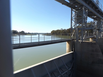
Main Weir upstream side
A further fifty kilometres on we turned onto a recently graded unsealed road for eleven kilometres which
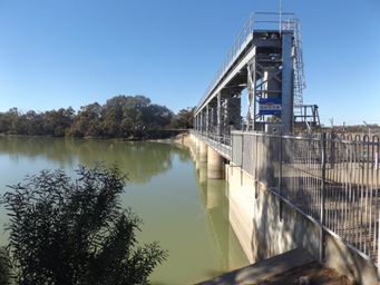
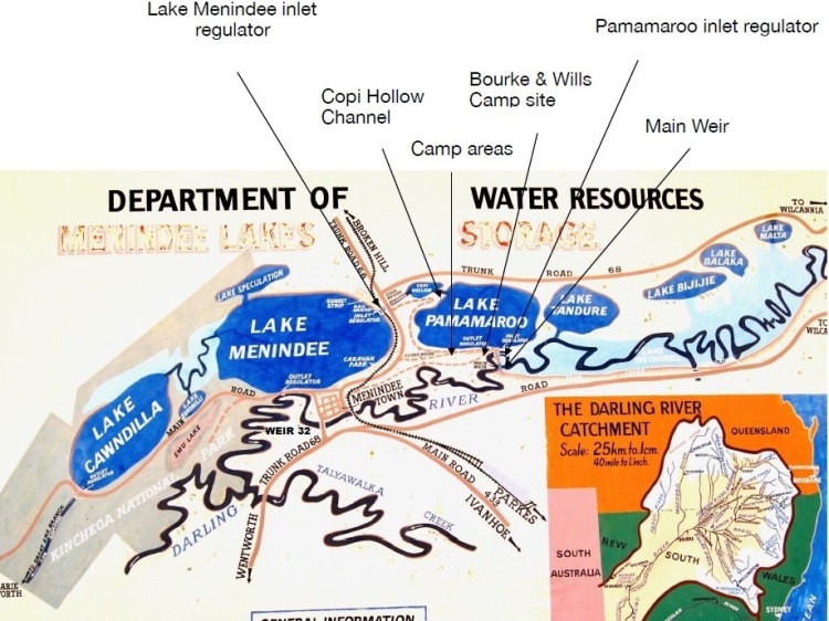
took us to Main Weir. Main Weir across the Darling River forms Lake Wetherell, from where the water can be directed into Lake
Pamamaroo. There is a small camping area at Main Weir.
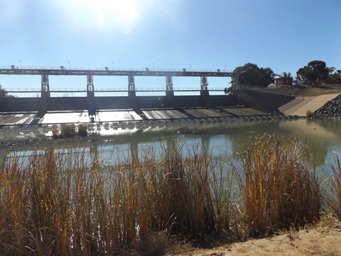
Main Weir downstream side
The Menindee Lakes were modified during the 1950s and 1960s to provide Broken Hill with a reliable water supply and to supply water
for irrigation to New South Wales, Victoria and South Australia.
The large wetland ecosystem within the Menindee Lakes supports
a diverse range of native flora and fauna - when full, there is more bird species found here than at Kakadu.
Prior to the construction
of the Menindee Lakes Storage Scheme, the lakes naturally filled during high river flows and subsequently receded to form a series
of pools. High evaporation rates at times dried the lakes out. Structures were built to enhance the ability of the lakes to store
and release water and include a number of weirs, regulators, levees and channels.
Menindee Lakes is made up of nine lakes, but
generally water is stored in the four larger lakes; Lake Pamamaroo, Lake Wetherell, Lake Menindee, and Lake Cawndilla with the four
smaller lakes upstream from Lake Pamamaroo not being controlled.
The lakes have a nominal full supply volume of 1,730 gigalitres
and can be surcharged to hold up to 2,050 gigalitres during floods. When full they hold three and half times as much water as
Sydney Harbour. The lakes are relatively shallow with the average depth being around seven metres.
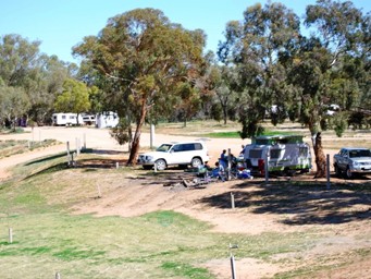
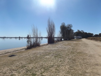
Caravans along Lake Pamamaroo between road and edge of lake.
Next stop was Pamamaroo Creek (also referred to as Burke and Wills Creek). Here on Pamamaroo Creek is the site of the base camp
of the 1860 Burke and Wills expedition. At the time of Burke's arrival, Menindee was still an outpost, with no other settlement between
here and the vast interior. With the summer months approaching and pressure to move on from their sponsoring committee, Burke
decided to split the expedition.
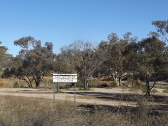
Block Dam is where another channel (regulator) goes under the road and can be used to drain wetlands in this area of many interlinked
channels between the river and the lake.
From Main Weir we drove along the channel which links the river to Lake Pamamaroo via Pamamaroo Creek, which is also known as Burke
and Wills Creek.
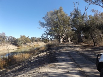
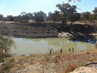
Looking to the regulator going under the access drive to Burke and Wills camp on Pamamaroo Creek (above left), which is used as an
outflow from Lake Pamamaroo. The Tree with the sign as above on the left of this photo.
Looking across the creek
from the marked tree, remnant posts are evident both sides of the channel (above right). This indicates a possible crossing
prior to the present track over the regulator. The suggestion that this may have been a wharf does not seem feasible.
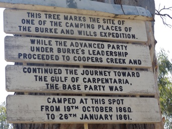
Burke and Wills campsite signs on a tree by the creek.
On October 19, the small party of Burke, Wills, King, Gray, McDonough, Patten and Dost Mahomet (see # Dost Mahomet), 15 horse
and 16 camels left the Pamamaroo camp and headed north. The remainder of the expedition remained at Pamamaroo for the next year
under the command of William Wright.
A series of logistical and communication problems beset the expedition, resulting
in Burke, Wills and Gray perishing in the Australian interior.
This last base campsite Burke and Wills party used is now the
site of a free campsite. Toilets provided. Not the same view as the unserviced sites along the edge of nearby Lake Pamamaroo,
but a pleasant camping and picnic area all the same.
Resources
The Land Broken Hill Pipeline protests warn of river damage
Signage at the sites and talking to locals.
