Australia So Much to See


Cameron Corner - a visit to three states
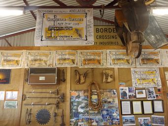
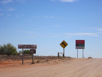
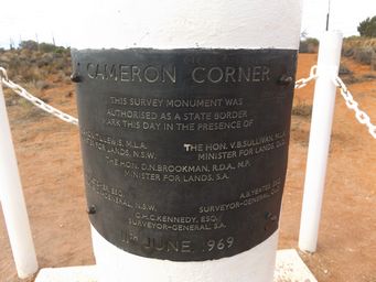
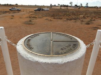

Cameron Corner marker. Cameron Corner is the easiest to access and most visited of the five corners to reach.
Much of Middle Road runs parallel to the low lines of dunes, however the Dunes Scenic Drive turn and needs to cross a number of these
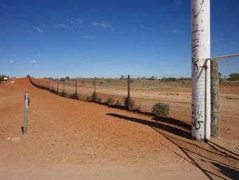
sand ridges. After cresting a number of these low dunes on the well formed Dunes Scenic Drive, we reached the dog fence gate
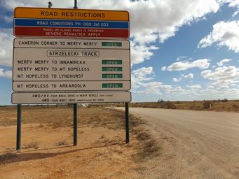
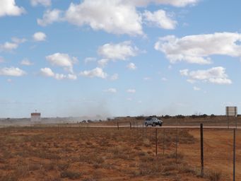
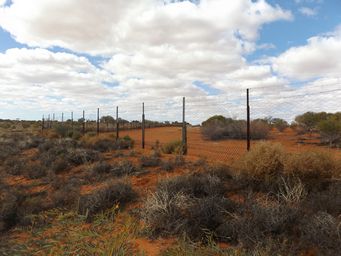
(above left) on the border and crossed into South Australia (above right). We are now on Reichs Road, which is a spur from
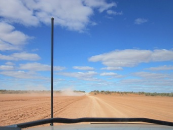
the Strzelecki Track, meeting it near Merty Merty. Vehicles were coming in from this direction on a dusty road (below).
From Cameron Corner, the fence follows the New South Wales border eastward one chain (approximately twenty metres) north of the border. Each road crossing of the dog fence has a gate which must be opened and closed when crossing.
A short walk in from a parking area to view and photograph the corner post.
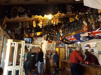
We turned onto Camerons Corner Road which took us into Queensland. Cameron Corner Store is in Queensland, and is principally
a pub. First opened in 1989, it offers meals, drinks, fuel, accommodation and camping. As a novelty you can play “Tri
State Golf”.
Returning to Tibooburra from Cameron Corner, at first on the Dunes Scenic Drive, we took the Cameron Corner Road to Tibooburra.
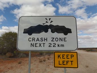
Road sign warning of crests on the Dunes Scenic Drive.
Soon after passing the Middle Road turnoff, Fort Grey campground is on the edge of Lake Pinaroo, in the Fort Grey Basin. From
the camp when the lake is dry which it usually is, walks can be taken. The Well walk is a loop of four kilometres, where you
can see the remains of an old brush fence and a well, and the ruins of the Old Fort Grey station homestead. From this loop,
a further three kilometre return walk crosses the lake to Sturt’s Tree. In 1884, Sturt carved the letter S and an arrow indicating
his direction of travel into a Coolibah tree. This tree died during the 1956 floods, and its branches are now supported by metal
poles. Mud stains up to three to above head height indicate levels during flood times.
Where are the other Corners? To the north of Cameron Corner is Haddon Corner, marking the north east corner of the South Australian
border, where the state juts into Queensland. This is the only ‘two state’ corner as all others join three states.
Harder
to reach, being in the Simpson Desert, Poeppel Corner marks the junction of Northern Territory, Queensland and South Australia.
The
junction of Northern Territory, South Australia and Western Australia is Surveyor Generals Corner. To visit this involves obtaining
a permit from the Aboriginal community, and paying for a local guide.
The least visited of all is at the junction of New
South Wales, Victoria and South Australia. Here, where the New South Wales – Victorian Border follows the high water mark on
the south side of the Murray River, the South Australian borders to the north and south do not align, being on different latitudes. This corner can only be reached by boat.
At 5,614 kilometres, this is the longest fence in the world, running from the coast to the west of the Head of Bight in South Australia, to Jimbour in Queensland. When the failed rabbit proof fences of the 1880s had fallen into disrepair, the needs of graziers to protect their livestock from dingoes initiated the 1912 – 1914 reconstruction of the fences to form a continuous dog proof fence. Once totalling 8,614 kilometres, today the fence is 5,614 kilometres long, and it is kept well maintained. Commencing in south western South Australia, on the edge of the Great Australia Bight due south of Nullarbor Roadhouse, the fence continues north in Queensland before turning southward again to terminate at Jimbour in the Darling Downs region.
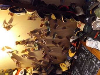
Money has been pinned the ceiling as can be seen in a number of outback pubs. These seems to come from a tradition which commenced
in the United States during the gold rush signed by the owner, should he ever fall on hard times (as many did) and need to return
home.
Why Cameron Corner? John Cameron was a Surveyor General for the New South Wales Lands Department who led the first survey along
the New South Wales – Queensland border between 1879 and 1881.
In September 1879 the survey began from the New South Wales border
town Barrigun. The survey of the reached the South Australian border twelve months later. On his arrival in September
1880, Cameron erected at wooden post with the inscription Lat 29 and Cameron. This post was replaced in 1969 with the present
concrete post. The original wooden post which Cameron inscribed on display at the Sturt Visitor Centre in Tibooburra
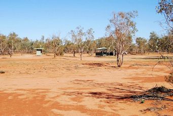
Heading towards Tibooburra we crossed the large Waka Claypan, another dry lake bed, then passed stations running sheep and cattle.