Australia So Much to See
New South Wales - Warrumbungle National Park
Pincham carpark as the starting point for a number of walks, short and long. There is a hikers campground near Pincham carpark,
and two further campsites on the Grand High Tops loop trail.
Spirey View walk is a 3.3 kilometre return trail which follows
Spiry Creek for 6.5 kilometres, with bridges where the path crosses the creekline. There is then a 150 metre climb up stony
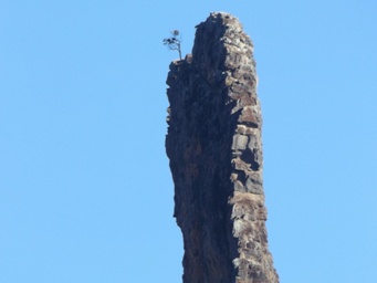
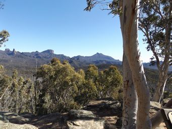
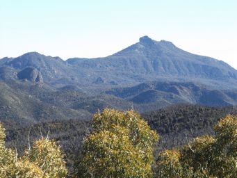
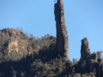
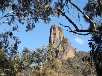
path to the viewing point. This gives a clear view of the Breadknife, a 150 metre tall volcanic dyke with a ninety metre sheer
face, and other volcanic cores and spires.
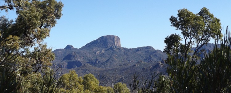
White Gum lookout, on the eastern side of the park is a wheelchair accessible sealed level 500 metre pathway to the lookout. Features peaks and volcanic core rocks.
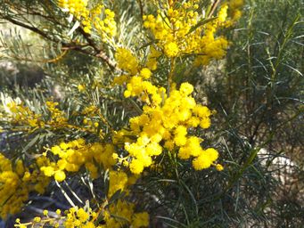
Spring wildflowers were abundant alongside the walkway to Whitegum Lookout. At right we have a lovely bright golden Acacia (wattle) shrub.
There are around 1,000 different Acacia species occurring in Australia. The Australian national flower is an Acacia.
Mount Exmouth walking track is a 17 kilometre return hike to the Mount Exmouth summit, and incorporated a hikers campsite on the route. Commence at the Split Rock Car Park, near Wombelong Campground. Mount Exmouth is the highest peak in the Warrumbungle
range, at 1,206 metres above sea level. The Cathedral and Arch as well as Danu Gap are on a spur trails from the Mount Exmouth
walk.
Belougery Split Rock walk commences from the Belougery Split Rock carpark, near Wombelong campground. This
4.6 kilometre loop climbs to and goes around Belougery Split Rock, with a climb to the peak.
There are also short walks
from Camp Blackman and from Canyon Picnic area (near visitor centre) or via a link trail from Camp Blackman.
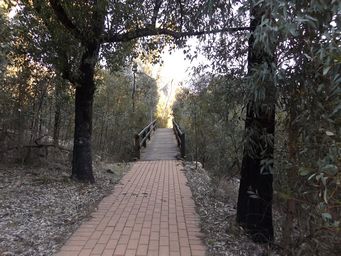
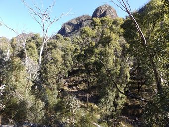
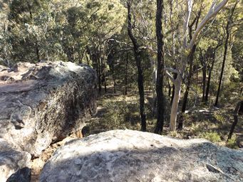
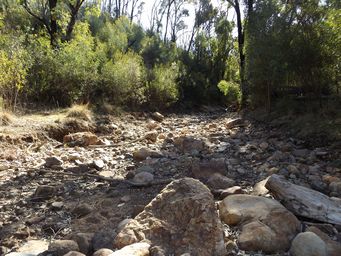
This trail continues further along the creekline to the Breadknife, as part of the Breadknife and Grand High Tops loop walk, which
is a total of 14.5 kilometres from the Pincham carpark. This walk requires fitness and hiking experience.
There
is an additional option from the high end of the Grand High Tops walk which climbs to the top of Bluff Mountain. It is highly
recommended that hikers taking longer and more challenging hikes such as this register their details with National Parks NSW. Use
their on line Bushwalking trip intention form.
Another short climb commencing from Pincham carpark is the Fans Horizon walk
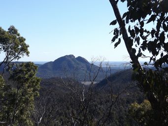
of 3.2 kilometres return. This climbs to a lookout giving panoramic views of the Breadknife, Belougery Spire and Crater
Bluff.
Burbie Canyon walk commences from the Burbie Canyon carpark, a short way east of Camp Wombelong. This is a
two kilometre return walk along the floor of a narrow sandstone canyon which features wildflowers in spring, and birds and mammals
year round. This trail links to the Mount Exmouth walk.
Prices were $12 per person per night powered, and $6 per person unpowered. There were pit toilets at each camping section, with
the flushing toilets at the main amenities block being out of action due to drainage issues, which appeared to be a long term problem. They had set up a few portable toilets. Showers were basic, water only just warm and timed for five minutes. There was
a camp kitchen with sinks at the amenities block, which was in the tent area. A few gas barbecues in tent area. The dump
point was over at the main powered section.
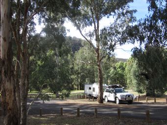
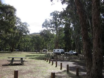
Camp Blackman, Warrumbungle National Park, has powered sites and unpowered sites. Unpowered sites were mostly shady, and being
surrounded by hills, the sunny part of the day was short. Sites were narrow and unlevel, with bollards and trees, making it
difficult to back into or drive out. Bookings not taken.
Location was pleasant for basic camping, with walks giving views of
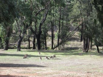
the peaks in the park. The central location is ideal for day trips and walks around the park. Birds were abundant,
and the evening many kangaroos came around the camps (at right).
Camp Wambelong On the western side of the park, Camp Wambelong is close to the road, but roomy and informal so suitable
for large rigs. Pit toilets, picnic tables and barbecues. $6 per person per night, no bookings.
Gunneemooroo campground is
in the southern part of the park, accessed from the unsealed dry weather Mount Terrace Road, to the north of Tooraweenah. This
is suitable for tents and some camper trailers. Sites must be booked and an access key to the gate obtained from the Visitor
Centre (key deposit required). No camping fees. Access is four wheel drive only, with two wheel drive vehicles having
to stop at the gate. Pit toilets and barbecues.
