Follow our adventures when we next head to Bourke
< Back to Travelogues Index
Want to know more?
Ask us
Home > Travelogues > 2017 Travelogues Index > New South Wales - Brewarrina on the Barwon River

New South Wales - Brewarrina on the Barwon River

Australia So Much to See
 

Copyright (C) 2013 AustraliaSoMuchtoSee.com. All reights reserved
< Previous
Home
Travelogues
Tips and Hints
Lists and Links
Q & A
Contact
< Previous
Home
Travelogues
Tips and Hints
Lists and Links
Q & A
Contact
341_camping_at_4_mile_dscf6354sa.jpg 341_4_mile_dscf6356.jpg 341_4_mile_dscf6369.jpg 750_banner_4_mile_dscf6368.jpg
The Four Mile Reserve
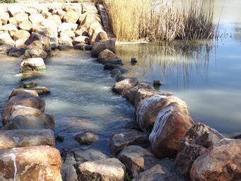
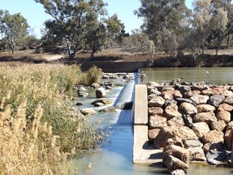
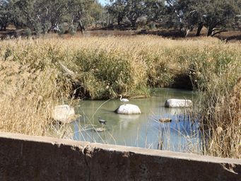
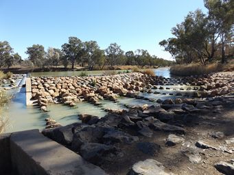
The weir across the Barwon River, with an abundance of reeds that have grown in the slower moving waters below the dam wall.  Birds sitting on rocks (above right) watching for a feed in the shallows. 
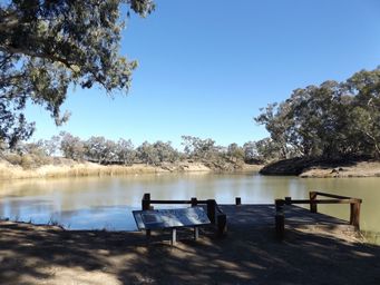
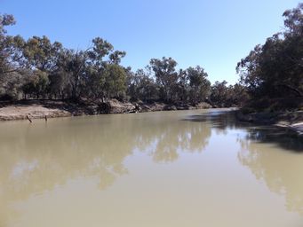
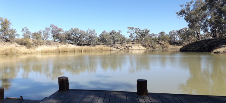
The Four Mile Reserve day area with jetty and boat launching on a wide bend of the Barwon River.  Looking downstream from the jetty above left.  Looking upstream to where the river is narrow above right.  The camping area is alongside the river from here for around 500 metres. 
Jetty at a wide bend on the Barwon River at the day area of the Four Mile Reserve, Brewarrina. 

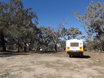
We went to the Four Mile Reserve camping area along the Barwon River, six kilometres by road, south east of the town and accessed from the Tarrion Yarrawin Road (to Carinda), from which it is signed.  This peaceful free camping area of twelve hectares stretches for around 500 metres along the river’s edge, with tracks getting rougher and less accessible the further you go. 

While some campers were set up for longer holidays, for us it was a pleasant overnight stop. 


On entry, there is a day area carpark, with a small jetty and boat launching area on a wide bend of the Barwon River.  Two shed-style buildings house toilets and cold showers. This would be a long walk from most of the camping spots. 


A lot of caravans and tents were spread through the trees near the river.  River’s edge areas were taken. 
341_brewarrina_weir_fishway_dscf6388.jpg 341_brewarrina_weir_fishway_dscf6393.jpg 341_brewarrina_hotel_dscf6398s.jpg 341_brewarrina_weir_dscf6387.jpg 341_birds_at_brewarrina_weir_dscf6386.jpg 341_at_memorial_park_dscf6397.jpg

Resources

Signage at sites 

Visit NSW – Brewarrina

Wikipedia – Brewarrina 

Aussie Towns – Brewarrina

River Space – Brewarrina fish traps 

Aus thru time – Aboriginal fish traps 

National Heritage Places - Brewarrina Aboriginal Fish Traps

Brewarrina council – Four Mile Reserve 


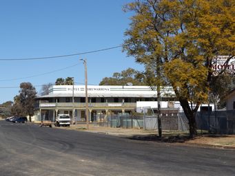
Now Brewarrina is a neat and well kept town with wide main streets, a pleasant town to visit, stay, and enjoy the unparalleled history.    


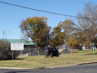
Above left shows a small steam engine on display at Memorial Park, where a skateboarding facility was under construction.

Above right shows the Hotel and wide street. 
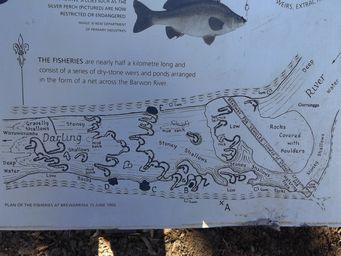
An area of stones near where the weir now stands were thoughtlessly removed to create a ford across the river. 
 
Stones were also removed from the river to allow paddle steamers to cross, and later during the 1920’s rocks were removed and used for building foundations and road construction.  Despite serious degradation, the fisheries are still used today by the local community to catch a feed of fish.
 
The weir was constructed in 1971 just upstream from the remaining fish traps, and a simple fishway (fish ladder) was added in 2012 to enable fish to travel further upstream.  The small weir is to enable a water supply for the town. By the 2016 census, Brewarrina had a population of 1,651.

341_1906_map_fishtraps_dscf6361sc.jpg
The fishway or fish ladder at the weir overflow, which enables fish to make their way upstream. 

Next page >
Next page >
Continue reading >