Australia So Much to See
Muloorina Station Waterhole, near Marree
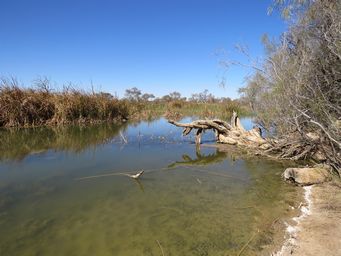
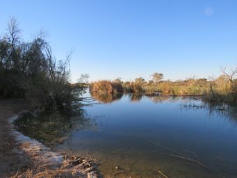
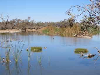
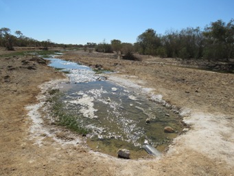
Muloorina Station owners generously share this beautiful Frome River permanent Artesian fed pool with campers, who are welcome on
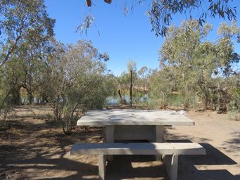
both sides of the pool with plenty of room to spread out. Concrete picnic tables are scattered through the camping area. Flushing toilets are provided for visitors, together with a small hand basin in each toilet cubicle. Water is provided from
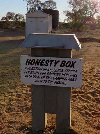
a tank. A $10 fee which is donated to the Royal Flying Doctor Service is requested from campers each night, per honesty box. A wonderful location. The station homestead and sheds are on the hill opposite where we were camped at the edge of the waterhole.
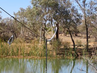
Southwards along the waterhole, there was a solar powered water input, with a pipeline running from the bore near the homestead, replacing a channel once used. Before restriction was required, this Artesian bore used to power a water driven turbine to provide electricity at the station.
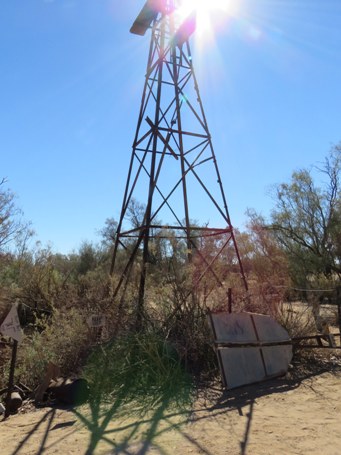
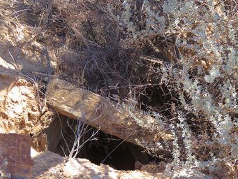
An old well and disused windmill was in the middle of the campground, which in the past used to provide water
to the pool.
At the northern end of the camping area, the pool ends (above) and a track goes across to the campsites on the other side. Water was flowing from the waterhole through a large poly pipe under the track (above right). On the homestead side of the waterhole, there is a small bird hide.
To the south side (below), by the end of the long camping area, the pool narrows and becomes choked with reeds. Cattle walk through the campground unperturbed by the visitors.
As a bore-fed wetland, Muloorina
Waterhole has a high conservation value.
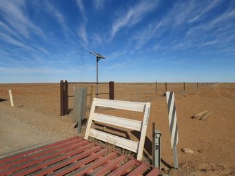
The road into Muloorina is crossed by the Dog Fence, with a grid, and a solar powered loud whistling sound to deter dingoes from walking
across the grid.
To reach this lovely campsite, leave the Oodnadatta Track and head north, approximately two kilometres west of Marree. From
here, head a further fifty kilometres before reaching a junction, where the the right hand fork goes to the station homestead (private,
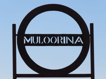
no public access) and the left fork goes to the campground. Near the campground, the track to Level Post Bay goes west. At this junction there is a sign with details about Muloorina Station, as below.
Muloorina Station covers 400,000 hectares,
and the station supports an average of 4,000 cattle. Muloorina is an Aboriginal word meaning Place of Plenty. Muloorina
was originally established as a camel farm in 1904 by the South Australia Government, but closed in 1929 as the demand for camel transport
diminished.
It was bought by Elliot and Stan Price in 1936. Several lean years followed until Elliot sunk some bores. An Artesian bore near the homestead reaches 543 metres and delivers water at 56°. The overflow maintains a permanent waterhole
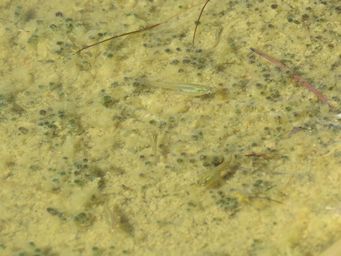
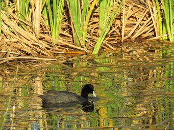
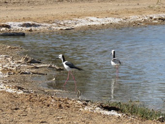
in the Frome River bed, and is a haven for birdlife.

Looking across the reedy waterhole to the small Bird Hide.
Update: As at April 2021 the waterhole access and campground is now open, but the road to Level Post Bay remains closed (long term).