Australia So Much to See

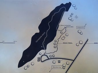
Totadgin Conservation Park is fourteen kilometres south of Merredin on the Bruce Rock Road, in the locality of Nangeenan. Totadgin
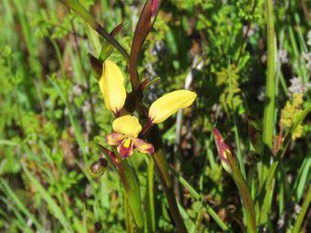
Rock is a traditional picnic place for the people of Merredin. This reserve is also rich in wildflowers. There are over
980 species of native wildflowers in the Merredin Shire, and many of these bloom in spring.
Source of Life
Water is scarce in this arid environment. However granite outcrops often have hollows that hold water after
rain. For many thousands of years these rock pools or 'gnammas' were an important source of drinking water for Aboriginal people. Aboriginal tracks were determined by the location and sequence of natural soaks and gnammas and this knowledge was passed from adults
to children.
Charles Hunt's expedition relied on Aboriginal guides to find water so Hunt's track in turn linked many granite
outcrops. These were later developed as water catchments for settlements on the Eastern Railway.
Australia 1778 - 1988
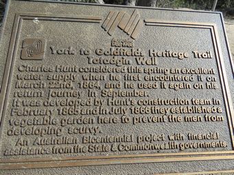
York to Goldfields Heritage Trail
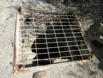
Totadgin Well
Charles Hunt considered this spring an excellent water
supply when he first encountered it in March 22nd, 1864, and used it again on his return journey in September.
It was developed
by Hunt's construction team in February 1865 and in July 1866 they established a vegetable garden here to prevent the men from developing
scurvy.
An Australia Bicentennial project with financial assistance from the State and Commonwealth Governments.
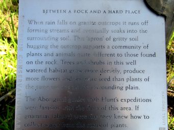
Between a Rock and a Hard Place
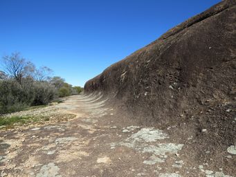
When rain falls on granite outcrops it runs off forming streams and eventually soaks into the
surrounding soil. This 'apron' of gritty soil hugging the outcrops supports a community of plants and animals quite different
to those found on the rock. Trees and shrubs in this well-watered habitat grow more densely, produce more flowers and set more
seed than plants of the same species on the surrounding plain.
The Aboriginal guides with Hunt's expeditions were familiar
with the flora of this area. If gnammas (above) were dry, they knew how to collect water from the roots of plants.
Well Made
Work began on Totadgin Well on March 7th, 1865, with Hunt's team abandoning the digging after coming upon rock at eight
feet.
"It will make a very good reservoir to be filled by the first rain" Charles Cook Hunt (Government Surveyor)
Pensioner
soldiers and probationary convicts provided the workforce for contraction of the wells along Hunt's Track. While most wells
were relatively shallow, their excavation took hundreds of hours and up to a month at a time.
The wells were carefully
lined with slabs of granite and timber poles.
Charles Hunt explored the area 1864-66 and called it ‘Hampton Plains’. He established the York-Yilgarn track and constructed Hunt’s
Well, one of twenty three along this track.
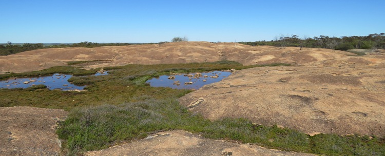
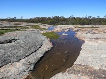
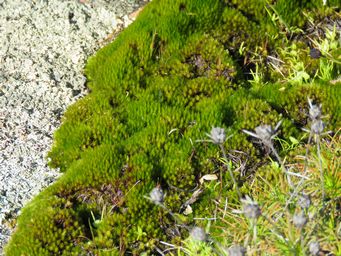
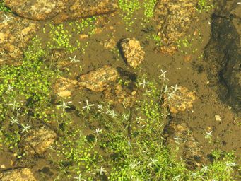
Some were edged with moss, others filled with a variety of native vegetation, and some with aquatic plants in them such as the one at right which contains, amongst other species, Crassula natans, Floating Pygmyweed; a non native plant that has come from South Africa and become widespread in wetlands through the southern part of the state.
Above shows a series of gnamma holes, with water continuing over the edge of the rock.
