Australia So Much to See

Initially the area was known as Weston's Reward and later as Westons after sandalwood cutter and prospector Alfred David Weston who
discovered gold at Boodalin Soak in December, 1910, near the present town. The town which grew nearby was originally named Weston,
but this name was changed to Westonia in June, 1914. It is one of very few places within the shire that do not use the Aboriginal
name for the locality.
Westonia is the headquarters of a long (150 kilometres) and mainly narrow shire area, extending
twenty kilometres south of the Great Eastern Highway, but mostly to the north. The Shire area encompasses a number of nature
reserves and large granite outcrops, including Yanneymooning Hill Reserve, Elachbutting Rock, Chiddarcooping Nature Reserve, Warrachuppin
Rock and Lake, Baladjie Rock and Lake, Sandford Rocks Nature Reserve, and the CBH grain receivals bin at Warralakin. We
had visited Yanneymooning, Elachbutting Rock, and Baladjie Rock on early tours. The road to Sandford Rocks was closed due to
rain.
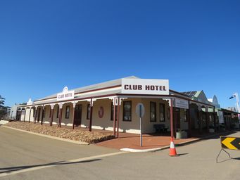
A rebuilt former Club Hotel on Wolfram Street, on the site where the hotel opened in October 1913 and operated until 1922.
This
building houses the Hood-Penn Museum.
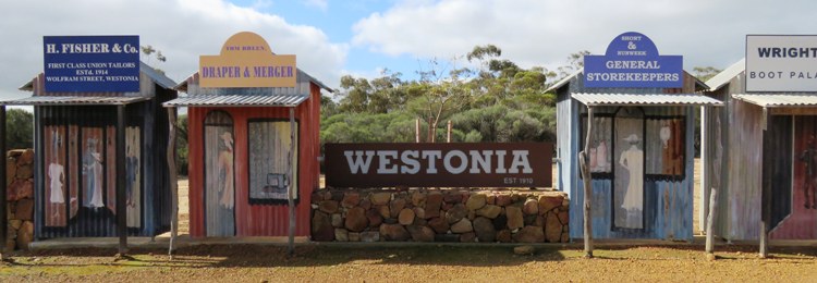
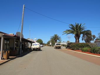
Visiting the main street of Westonia is like taking a step back in time. Businesses and shops facades are those of an earlier
century. Walk the full length of Wolfram Street through the town centre. Plaques show what used to be there.
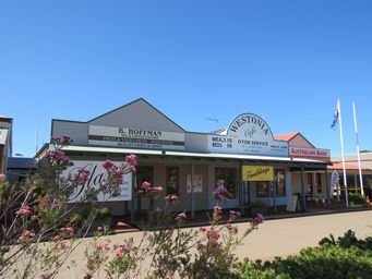
A Greengrocer and general store, Westonia Café and Motor Service, and the Western Australian Bank facades. The Shire of Westonia and its library currently occupying these premises.
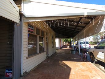
Looking down the footpath past the Gallery Café. The red doors further down are the ambulance and fire brigade buildings.
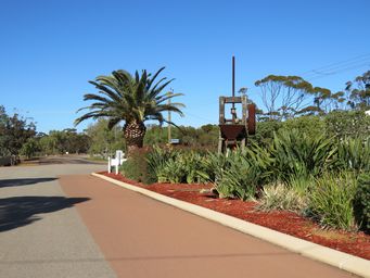
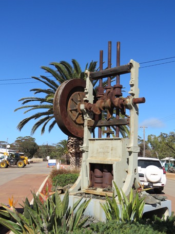
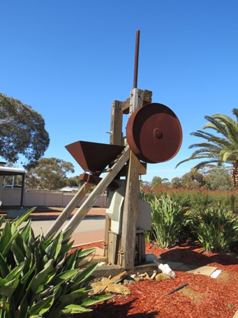
Bellow left is a three stamp battery. These were used to crush the ore.
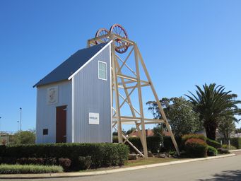
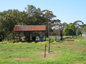
Below right represents a simple frame for lifting buckets of ore from the mine.
Once an old fuel storage and generator shed for the local store, side wall sheets were removed and some old water corporation pumps
and valves from the old Walgoolan pumping station put on display.
