Australia So Much to See
Copyright (C) 2013 AustraliaSoMuchtoSee.com. All reights reserved
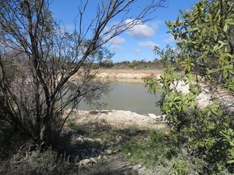
Woolgangie is another point of interest and significance with two railway dams from a 20 hectare (50 acre) rugged granite outcrop. There was also a well built by C.C. Hunt and his team at the base of the rocks. No dogs allowed and no camping permitted here,
but there was evidence of campers in the parking area near the rock.
Around 1895 there was a settlement here when the end of
the railway. It had a telegraph station, ruins of which remain, a boarding house, and was an important water stop and the railhead. With the need for water for the town and visitors, their horses and the trains, with a dry year, the water supply ran out, and
water needed to be trucked in. The first water to reach the settlement was of such poor quality that it made people ill. People there also died of Typhoid fever.
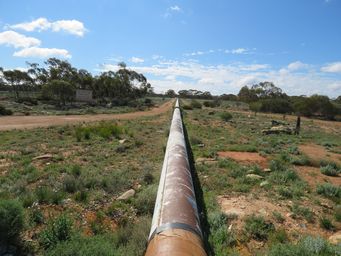
The pipeline, now much narrower than at the start, continues to carry water towards Kalgoorlie.
There is a service track
on each side of the pipeline here.
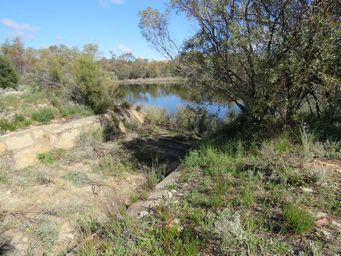
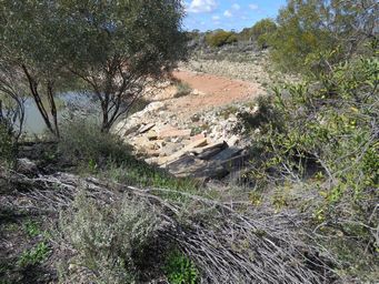
The first dam (top right) collects water from the rock through a channel about eighty metres long. The overflow from this dam
runs thirty metres through another channel into the second and larger dam (above).
The wetter areas were overgrown and hard to get
to, so I could not reach the base of the rock. There was a fence around the second dam.
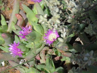
Sarcozona praecox, a native inland Pigface, which is often found in the vicinity of salt lakes, above left.
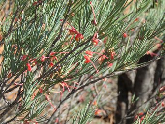
Grevillea
haplantha, with bright red flowers scattered through the pale green foliage of this shrub, above right.
Only a very dilapidated former pub and fuel outlet which was known as Rock Tavern (closed 2015) remains of this former small town. There is a disused railway dam. Along the pipeline to the north west of the town is the last of the reservoirs, from where the
water gravitates to Mount Charlotte in Kalgoorlie as Bullabulling is the highest altitude point on the pipeline between Mundaring
and Kalgoorlie. The town was named after a nearby rock, but the Aboriginal meaning of Bulla Bulling (originally two words) is
uncertain. Some travellers stop behind the old hotel, but this is not a recognised rest area.
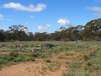
Woolgangie Rock and dams, site of a former settlement at the rail head
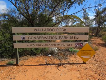
The turnoff from the highway is signed for the Wallaroo Rock conservation park, but the road passes the historic Woolgangie site.
As we were uncertain if we could turn around with our caravan, I choose to walk in to Woolgangie. For others, there is adequate
room to turn in a number of places, and small to average units could reach and turn at the dams.
The whole walk and look
around was around four kilometres, and passed a lot of lovely wildflowers in the bush as I walked past.
This rest area, on the north side of the Great Eastern Highway is nothing more than clearing with a bin and picnic table close to
the highway, and a mass of tracks into the bushland for quieter and private camping. While it takes is name from one of C.C.
Hunt’s wells, which is actually near rocks five kilometres to the south at a granite outcrop. This can only be accessed along
the Hunt’s Track, linking the wells he and his team made to give access to water for those heading to the Coolgardie goldfields. The turn off for the dry weather clay track heads east, less than 200 metres north east of the Woolgangie turnoff. The rocks
and the well are approximately seven kilometres along this winding bush track.
As a result of the lack of water, transport could not take supplies any further east, as the horses were suffering from lack of water.
Hence the rail line was extended as quickly as possible to Bullabulling, which was close enough for water to be carted from
Coolgardie. There was also a well at Bullabulling with a condenser (desalinator). The settlement at Woolgangie was abandoned.
Woolgangie continued as a small railway settlement along the line. In 1903 two line runners cabins were built for the construction
and maintenance of the water pipeline, plus a telephone repeater station.
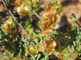
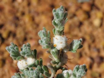
Maireana georgei, Satiny Bluebush, Golden Bluebush, George’s Bluebush above left. These are a group of over thirty different
species of small bushes that grow throughout the central and semi arid areas of Western Australia, and many are known as Bluebush
due to the bluish tinge to the foliage. Flowers are small and rarely noticed, after which a circular wing develops, which
can be colourful, semi-translucent or hairy.
Dissocarpus paradoxus, Curious Saltbush, Cannon-ball above right.
One of many small fluffy flowers n this region.
Dedari number 8 pumping station was operating steam powered until it was shut down in 1970, and the buildings and equipment remain
in good order. This is two kilometres north of the Great Eastern Highway. We did not visit, but it is a must see for those
doing the Goldfields Pipeline – Golden Pipeline Heritage Trail.
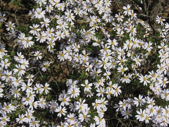
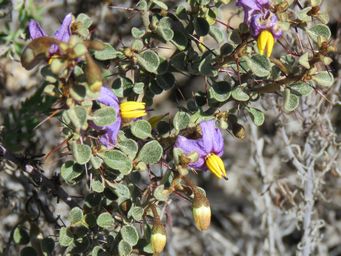
Solanum nummularium, Money-leaved Solanum above left. Olearia muelleri, Goldfields Daisy above right.
Follow our wheatbelt and goldfields touring on the following pages

