Australia So Much to See


Want to know more? Ask us
< Previous
travasmtc2008028004.gif
Next page >
Home
Travelogues
Tips and Hints
Lists and Links
Q & A
Contact
< Previous
travasmtc2008028004.gif
Next page >
Home
Travelogues
Tips and Hints
Lists and Links
Q & A
Contact
Home > Travelogues > 2008 Travelogues Index > West Macdonnell Ranges to Ormiston Gorge

The West Macdonnell Ranges 2008.  We visit Ellery Creek, Serpentine Gorge and Ormiston Gorge.

travasmtc2008028003.jpg travasmtc2008028002.jpg travasmtc2008028001.jpg tn_ellerytrack.jpg tn_ellery1.jpg tn_ellery2.jpg tn_ellery3.jpg tn_ellery4.jpg tn_ellerydolomite.jpg tn_elleryrock.jpg tn_ellerysign.jpg tn_serpentine7.jpg tn_serpentine1.jpg tn_serpentine2.jpg tn_serpentine3.jpg tn_serpentine4.jpg tn_serpentine5.jpg tn_serpentine6.jpg tn_ormiston13.jpg tn_orminston2.jpg tn_ormiston1.jpg tn_ormiston3.jpg tn_ormiston5.jpg tn_ormiston8.jpg tn_ormiston9b.jpg tn_ormiston10.jpg tn_ormiston11.jpg tn_ormiston12.jpg tn_ormiston4.jpg

There is a tank with bore water for cooking and washing and free barbecues. 

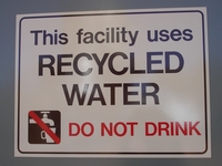
The toilet block boasts that recycled water is used.  Solar panels on the roof power the pumps. 

We took the three kilometre dolomite walk.  Dolomite is a fine grained sedimentary rock composed of magnesium and calcium carbonate. It was deposited here between 800 and 750 million years ago, when much of Central Australia was covered by a shallow sea. 

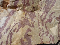
Colourful rocks along the walk way.

The walk down to the water filled gap was well prepared and easy; most of the way being suitable for wheelchair access.

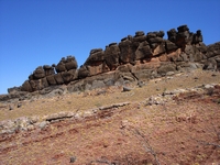
The marked dolomite walk turned from the Larapinta Trail on a hill crest, from where we crossed a valley and followed another ridge back to the river bed and into the parking area.  The signage was obscure and we almost followed the Larapinta Trail west through the range rather than the return loop.  Natural stone walls along the crests of the ridges can be seen throughout the western ranges. 

This walk meanders over the foothills and incorporates part of the Larapinta Trail, a walking trail which traverses the West Macdonnell Ranges starting from the Old Telegraph Station in Alice Spring and terminating at Redbank Gorge on the western edge of the West Macdonnell National Park. 

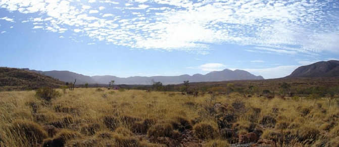
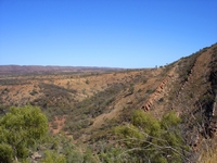
Views of the range to the south of Larapinta Drive from the dolomite walk

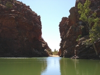
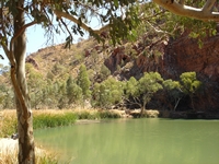
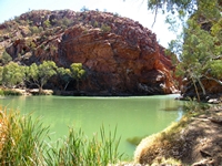
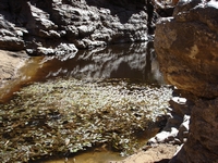
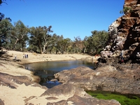
Views of the waterhole, which is one of the largest in the West Macdonnell Ranges. 

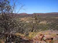
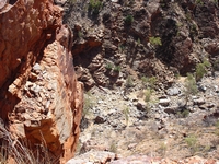
Trees appear so tiny as we look down to the dry creek below the lookout.

A steep trail goes to the top of a bluff overlooking the gorge, with views to the north and the south, as well as looking way down into the gorge below. 

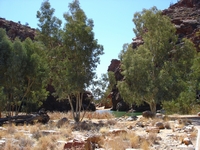
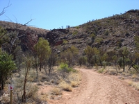
Serpentine Gorge is a less visited spot, with a stony dirt road into the small car park.  There is a cleared section just before reaching the car park gate with room for one big rig.  A pleasant walk track through bushland following along the dry creek line brings you to the gorge which has a tiny semi-permanent pool.

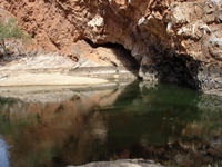
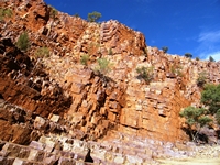
High above the pool, strata has been buckled and forms a small cave

Swimming is not recommended as the waterhole is deep and can be very cold during the winter months.  While the green water looked lovely against the red rocks, it did not looking inviting for swimming.

A little further east along Namatjira Drive is the site of the Serpentine Chalet failed tourism venture in the 1950s.  The buildings have been demolished and camping is now permitted, but it is not suitable for big rigs to enter.  We did not investigate further. 

The Neil Hargrave Lookout is another vantage point for views.

We took the bitumen road into the Ochre Pits car park.  There were a lot of cars and tourist coaches there, but no parking suitable for a rig the length of ours, so we left without walking to the nearby ochre pits. 

Ormiston Gorge is very popular spot, with bitumen road access, a huge day area, and information centre and a small camping site. A paved wheel chair suitable track goes to the first waterhole.  The amount of water varies according to the season, and with the area experiencing very dry weather, water holes were few and small.  


The view from the top looking south


Through north through the gorge.  This really shows how the streams cut thorugh the ranges at right angles.
 

This walk commenced with an easy trail up and down hills, before climbing to a vantage point to look down into the Pound. 

Rather than being a pound, it is really the creek valley, which from the distance appears to be fairly flat.   

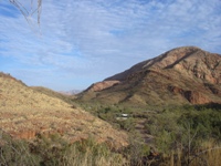
The vista of sculptured hills rising from the spinifex plains is lovely. 

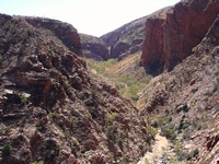
After climbing through the hills, the valley opens up before us, with more rugged ranges on the other side. 

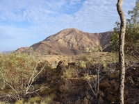
We started out early in the morning to take the three to four hour “Pound Walk”.  Looking back across the parking area, with glimpses of Mount Sonder beyond the valley. 

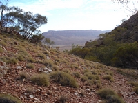
A little further up the hill, looking down into the valley. 

Floating leafy weeds in the small pool at Serpentine Gorge.  European bees were abundant around this small water source.

Turning towards the gorge, we walk through the slightly undulating valley.

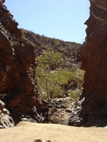
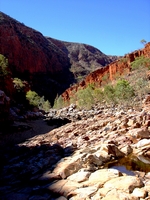
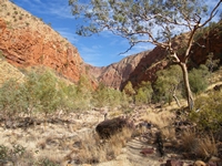
As we enter the gorge, the creek bed becomes stony and slower to walk through. 

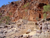
The walls of the gorge look like they are made from bricks.

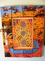
To the Western Arrernte people, the waterhole at Ormiston Gorge is known as Kwartetweme.  This is an emu dreaming place. Edward Rontji painted this dot painting depicting the travels of the emu ancestor in the Dreamtime from the Ochre Pits to Ormiston Waterhole. Carol Rontji produced the ceramic tiles which surround Edward's painting.  This can be seen in the visitor centre, where a recording by Edward tells the story of the emu dreaming.


The small pool at the gorge near the camp on our return from the pleasant long loop walk. 

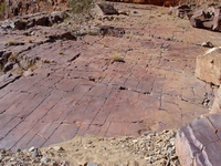
This ledge is as smooth as a paved footpath, with steps going down into the boulder strewn valley floor. 

The walk to a lookout on the peak overlooking the gorge, which can be incorporated into the return leg of the pound walk, was closed for maintenance so we were unable to enjoy the view.

Continue reading >

Back to top ^

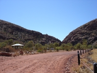
The drive into Ellery Creek Big Hole was a good dirt road # to a large parking and picnic area, and smaller area for camping.  It is all well appointed. 
Copyright (C) 2013 AustraliaSoMuchtoSee.com. All rights reserved
# The access road to Ellery Creek Big Hole is being sealed, and expected to be re-opened during February 2022.