Australia So Much to See
South Western Queensland - Mungindi
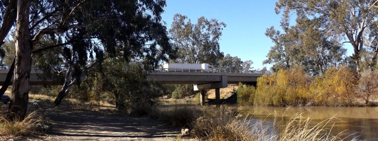
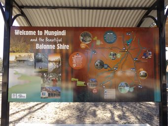
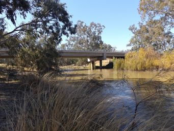
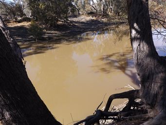
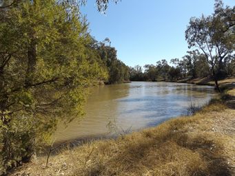
Forty five kilometres south of Thallon, we meet the New South Wales border at the Barwon River in Mungindi. Mungindi is the
only border town in the Southern Hemisphere with the same name in two states. Mungindi has a population of approximately 700
people, with the district producing wheat, cotton, wool, beef and sheep. Mungindi means “waterhole by the river”.
Much
of the town is situated in New South Wales with shops, school and sporting facilities there, while the hospital and a pre-school are
on the Queensland side. With a population of around 700, approximately 600 of these live south of the river, in New South Wales.
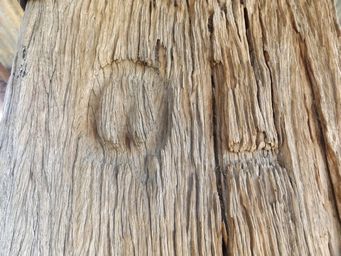
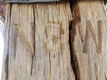
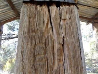
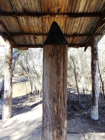
The One Ton Post is thought to be the largest survey post ever used in Australia. It is engraved with QL on the Queensland facing
side, NSW on the New South Wales facing side, and Lat 29 on the third side. Cameron’s name would have been carved into the fourth
side, but this is no longer visible due to weathering.
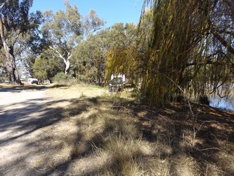
Campers alongside the river and Mungindi (above right).
The picnic area and park near the bridge has information signs,
including the stories of past flooding. Mungindi has been subject to flooding on many occasions, with the largest of these
occurring in 1890 and 1976. A significant levee bank system was completed in 1980 to protect the town, and the northern bank
was further strengthened in 1999. Aerial photos at the park show floodwaters being held back from the hospital by the northern
levy bank.
While still in Queensland, we drove to the One Ton Post, a large survey peg placed on the north bank of the Barwon River by surveyor John Cameron in 1881.
This completed two years surveying the straight border between Queensland and New South Wales along Latitude 29, between Cameron Corner and this point. Eastwards from here, the border follows the winding Barwon River, Macintyre River and Dumaresq River, and other terrain including crests across the Great Dividing Range, to the coast at Tweed Heads.
In 1865 the New South Wales and Queensland governments agreed to fix the Inter Colonial Boundary Line, the 29th parallel of latitude. Two surveyors were appointed; Mr Gregory, Surveyor General from Queensland, and Mr Greaves from New South Wales. They met to
commence work at Mungindi. Using sextant and theodolite, they placed in the ground two foot long steel pins within a triangle
of tees marked A, B and C, at the Barwon, Moonie Narran, Bokkara and Culgoa Rivers.
The steel pin nearest to Mungindi was located
by Mr Kitson in 1983. The B tree was also found then, having and being in poor conditions, but with the carving still discernible. It was then taken to Brisbane Surveyor's Museum, but returned to Mungindi when the section of the Museum was closed. The B tree
is now on display onsite at Gregory's Pin.
The absolute determination of the 29th parallel was begun in 1879 when Surveyor
George C Watson from Queensland and John B Cameron from New South Wales meet at Barrigun. Moving west they experienced floods
and droughts. These, coupled with disagreement with the younger Cameron, caused Watson to withdraw at the 100 mile post. However, Cameron persevered to reach the South Australia border some twelve months later. The survey east from Barrigun was
much easier and he reached the Barwon at Mungindi in October 1881. To celebrate the conclusion of a very difficult survey, Cameron
cut and placed a one ton post on the banks of the Barwon River, three miles west of Mungindi. It still remains as a testament
of Cameron's achievement, and is believed to be the largest wooden survey peg in Australia.
This point was officially named Gregory and Greaves Corner in 2008. While corners are traditionally named for junctions of three
states, this is one of the points named where there is a significant deviation in the direction of the border between two states.
To reach One Ton Post, head six kilometres south west on the Mungindi-Collarenbri Road, then turn onto a track signed to the post
which goes alongside the bank of an earth tank for one kilometre to reach the small parking and picnic area with a new concrete picnic
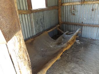
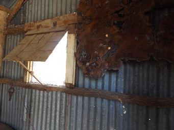
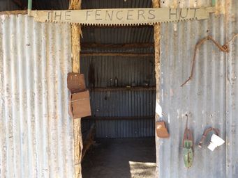
table and benches. A Fencer’s Hut has been erected there for interest, and the post has been roofed to protect it from further
weathering.
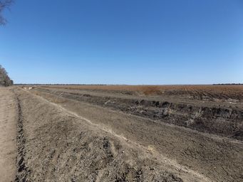
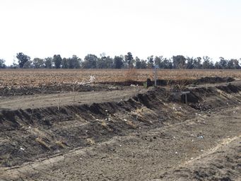
Water is pumped from the Barwon River to fill earth tanks such as the one we drove past, which is a triangular shape with sides around
1.5 x 1 kilometre. Surrounding land has fields with empty irrigation channels, in which last year’s cotton crops had been slashed
ready for the new season. See more about cotton growing in this area on The Story of Cotton.
