Australia So Much to See
New South Wales - Gilgandra to Narrabri
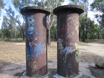
We stopped at the Oxley’s Crossing (Rocky Glen) Rest Area, where there was a memorial to explorer John Oxley who crossed here in 1818. There was an odd shaped old concrete slab near the road, together with what may have been some sort of water tanks – origin of these
unknown.
Rest area, which has tracks and loops into the bush behind the rest area, is thirty kilometres north east of
Coonabarabran and three kilometres south west of Rocky Glen locality, on the north side of the highway.
Gilgandra is a rural centre with a population of around 3,100. It is now at the junction of five highways. The town was
officially proclaimed in 1888, but the town preceded this, with the Post Office operating from 1967.
The name Gilgandra
came from Aboriginal use of the word for this place, which means "long waterhole". The town was established on a semi permanent
waterhole known as Gilgandra, on the Castlereagh River which dries seasonally.
Windmills were common, used to draw water from
the Great Artesian Basin. Now water is reticulated from the town scheme, drawing on artesian water from a network of nine bores.
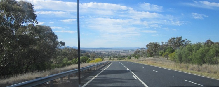
In an area with undulating farmland, Mullaley was a very small township with a modern rural supplies store, a postal agency and a
small primary school. Mountains were visible on the horizon to the east.
At Mullaley, which is 38 kilometres west
of Gunnedah, we turned north on a part sealed and part unsealed rural road, the Grain Valley Road through flat cropping land with
a rich soil. This met the Kamilaroi Highway at Boggabri.
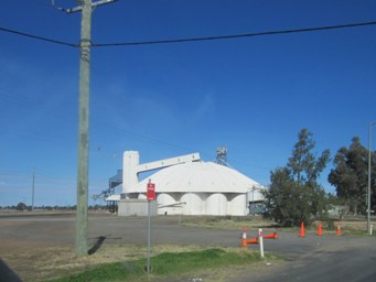
Boggabri has a large grain receival facility, and here are also active coal mines in the area. As we approached the town from the south, we passed a Namoi Cotton gin. Irrigation dams, irrigation sprinklers, channels and cotton farms were more evident to the north of Boggabri.
Boggabri, on the Namoi River, means place of many creeks. The town was gazetted in 1860.
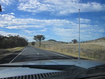
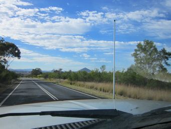

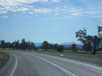
Around seven kilometres north of Boggabri on the Kamilaroi Highway, there were two railway crossings over the road (above left). This appears to be due to a realignment making one line obsolete. Further to the north more ranges appeared (above right).
Gins Leap, four kilometres north of the town on the Kamilaroi Highway, has an interesting history as the site of the Rock Inn between
1854 and 1867, predating the town. This bluff is said to be a site where two Aboriginal lovers leapt to their deaths as their
tribal customs forbid their union, as she had been promised to a tribal elder.
At the parking area, a few family
graves include those of a mother and young son who died following a spirits explosion at the Inn.
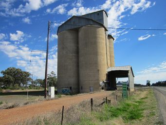
The tiny town of Baan Baa has a small old grain receival bin which appears disused, in front of which there is a sign advertising the “Baan Baa Pub”. The sign looked like it was referring to the old silos when in fact the hotel is a block back from the highway on a side street.
Baan Baa is said to be Aboriginal for "swim away". The railway station at Baan Baa opened in 1883
and once had the longest railway platform in country New South Wales. The Baan Baa Post Office opened in 1885 and closed in
1988.
The Baan Baa Literary Institute building which constructed of local cypress pine timber, was erected in 1923, and
is now the local community hall. Well I suspect that the much smaller derelict old wooden building next door was the actually
the original building.
Baan Baa was once a bustling railway village, which once had its own bakery, butchery and service station. Very little is left now. The Baan Baa Railway Hotel was established in 1922 is currently operating although it has not
been open continuously.
The primary school closed in 2005 when student numbers fell below 20, and has since been purchased as
a private residence and a place for the new owners to display their collections. They have a camping area with toilets and hot
showers, for $5 per person per night.
The Gilgandra Rural Museum displays and preserves an extensive collection of local farming equipment, agricultural plant and machinery.
It was established and is run by the volunteers of the Gilgandra Historical Society.