Australia So Much to See
New South Wales - Narrabri and the Mount Kaputar National Park
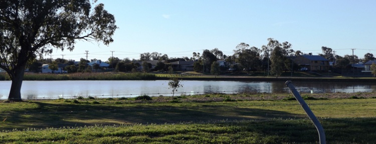
Narrabri Lake within the townsite was transformed by volunteers from swamp land into a recreational playground for swimmers, canoeists,
picnickers and windsurfers. A three kilometre walking and cycle track encircles the lake, and there were many early morning and late
afternoon walkers and joggers on the track. For bird watchers the islands, located at the southern end of the Lake, are a haven
for local and migrating birds. The showground where we were based backs onto this lake, but it is not accessible from this direction
due to a tall fence.
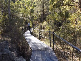
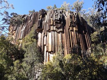
From the car park and picnic area, an easy 750 metre walk on a wheelchair accessible sealed path and boardwalk terminates in front
of these magnificent rock columns. From here, steps go down into the creek bed for those who was to walk further.
The
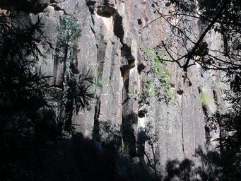
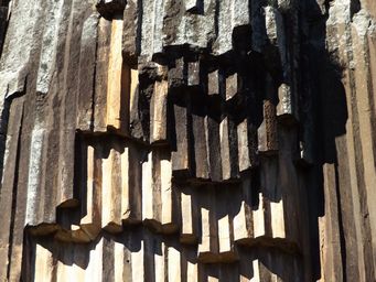
forty metre high towering wall of pentagonal basalt pipes is the sheared off remains of a basalt lava flow from the Nandewar Volcano
which dominated the area 21 million years ago. It is believed that these plunge a further sixty metres into the earth below.
It
is an unusual phenomenon which is the result of the slow and even cooling of molten rock which enabled individual crystals within
the rock to align perfectly with each other.
Broken columns hang from the top of this spectacular wall of colour.
While
this type of five-sided (pentagonal) ‘organ piping’ is not rare to lava flows, it is exceptionally rare to find them so perfectly
formed and preserved and is recognised as being one of the best examples of columnar jointing in Australia.
In an area of cotton farms, we had driven through this larger town on our quick trip in 2004. This time we visited the town
more to see the Mount Kaputar National Park including the magnificent organ pipe structure of Sawn Rocks.
Narrabri is
at the intersection of the Newell and Kamilaroi Highways. The Namoi River meanders through the town, as does the Narrabri Creek
which divides from the Namoi on the outskirts of the town, and the smaller Horse Arm Creek leaves the Narrabri Creek on the eastern
side of the town. This is described by the name of Narrabri, which means Forked Waters. Parklands line Narrabri Creek
in the central business area. These re-join to the north west of the town, where the winding Namoi River which stretches some
700 kilometres reaches the Barwon River to the north of Walgett.
The first squatter pastoralist came in 1834, and the
town was proclaimed in 1860. A devastating flood occurred in 1864. Today, Narrabri is the administrative heart of the
second richest agricultural Shire in Australia. Not only is it in the centre of a major cotton growing industry, it boasts other agricultural
industries such as wheat, beef and lamb. Cotton was introduced in 1962. Intensive research and improved irrigation led to the
district having the largest cotton yields in Australia. Other crops include sorghum, canola, chick peas, barely, oats, field
peas, linseed, soya beans, sunflowers and faba beans. In addition to sheep and cattle, pigs are also farmed.
The
town, with a population of 7,300, has a generous selection of shops and businesses.
A historic walking trail in the heart
of the town links many historic buildings.
Waa Gorge is 56 kilometres from Narrabri, via the unsealed Mellburra Road which runs
off the Killarney Gap Road, and Allambie Road, with the latter being a private road through farms. Please leave gates as you find
them.
Mellburra Road below left and Allambie Road below right.
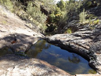
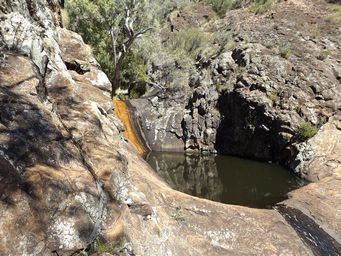
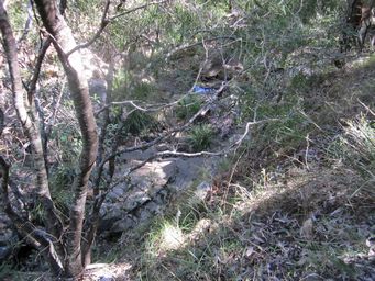
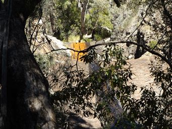
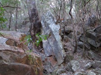
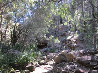
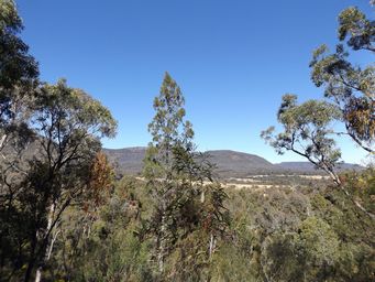
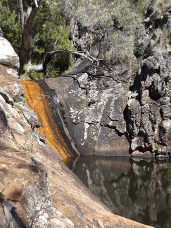
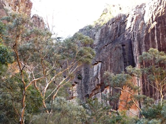
With a trickle of water coming down the creek, there were a number of shallow rock pools (above right).