Australia So Much to See
New South Wales - Mount Kaputar, a drive to the top
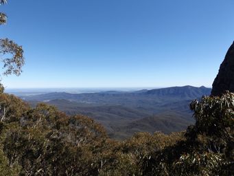
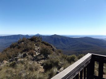
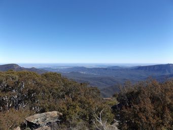
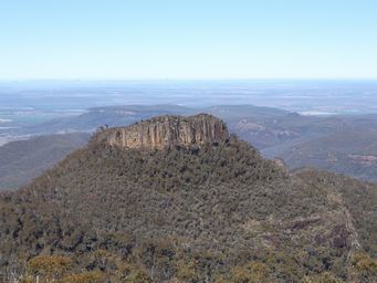
Next the Doug Sky Lookout from a higher vantage point looks across Euglah Rock from a different angle, with more amazing into the distance vistas. On a clear day, the Warrumbungle Range is visible on the horizon at a distant 150 kilometres to the south west.
This lookout was named after Douglas Sky, the civil engineer who supervised the construction of the Kaputar Road from Coryah
Gap to the Mount Kaputar summit. The viewing platform is right beside the carpark, with a wheelchair accessible ramp to the
platform.
In 1957 Mount Kaputar was investigated for suitability for one of the world's major observatories. A rough track to the top
was made for the astronomers to reach the summit. However Siding Spring on Mount Woorut in the Warrumbungle Range was the final
chosen location.
The road to Coryah Gap, which is well up into the heights of the range, had been constructed in the 1941,
and while this was a major development, visitors still faced a long and challenging hike to reach the summit of Mount Kaputar. The current road covering the remaining twenty kilometres was completed in 1965. At this time the reserve was declared a national
park and government funding was obtained for roads and campgrounds.
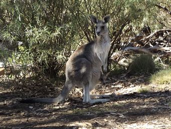
A group of cars arrived with young international tourists. A few very quiet eastern grey kangaroos were near the picnic tables
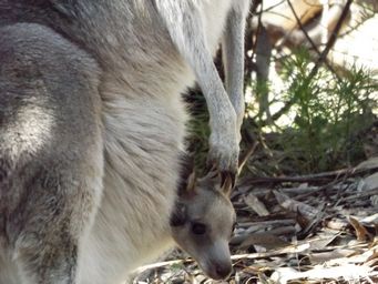
at the car park, and two who came very close to us had pouches sagging with their heavy loads. As the tourist group approached,
the joeys popped their heads out of their pouches and posed for photographs. A delightful magic moment, which resulted in shrieks
of joy from these visitors from overseas.
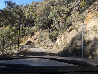
While the road that twisted and turned its way up the mountain range was narrow and winding, it was also not a place to want to meet oncoming vehicles. Often a rock cutting on one side, and a very steep drop down the mountainside. All this with no guardrails. We were lucky we did not meet oncoming traffic on these sections. While no caravans are allowed, camper trailers are. Imagine backing through the winding road to a safe place when towing. Unlike Mount Canobolas, there is no barrier fence. A wonderful drive up into the heights, but take with extreme caution along these sections.
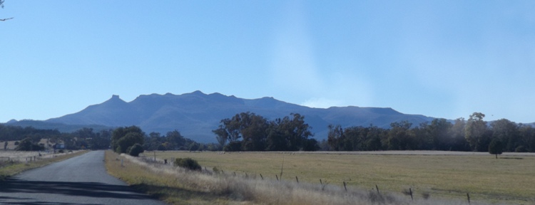
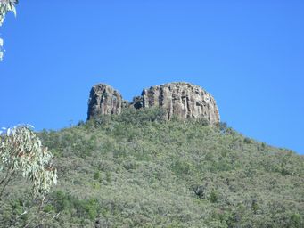
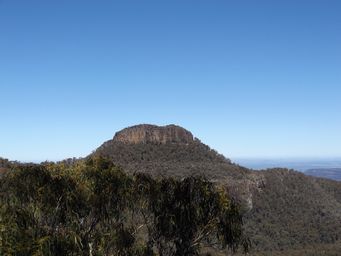
Mount Ningadhun is a prominent volcanic plug on the western side of the range, reaching 1,373 metres above sea level. It is
visible when driving towards the range from Narrabri (above). The ascent to Mount Kaputar passes this peak.
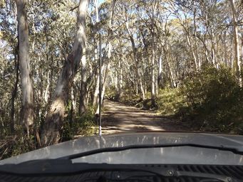
Here we are driving through a sub-alpine woodland.
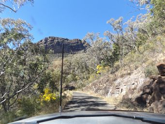
West Kaputar Lookout gives views across and to the north west of the range, with a daunting long drop to the valley far below. Trees clung to near sheer rock faces.
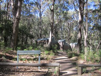
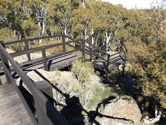
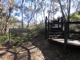
The stairs from the car park at right, and looking back down during the ascent below left.
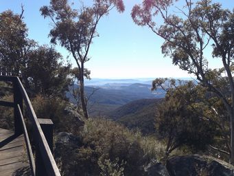
Below right with views into the distance as we climb the staircase.
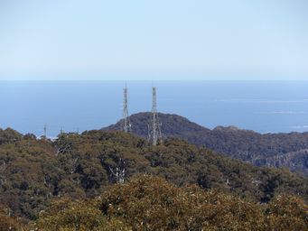
At right, zooming to the antennae that can be seen from most directions.
