Australia So Much to See


The East MacDonnell Ranges 2008. The soft colours of the East Macdonnells are lovely, and they contain the interest of Aboriginal
rock paintings and rugged orange rock strata. We start out with visits to Emily and Jesse Gaps and Corroboree Rock, then go
to Trephina Gorge.
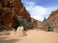
Just ten kilometres east of Alice Springs, Emily Gap is the first of two gaps through the
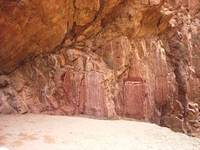
Aboriginal rock paintings in Emily Gap and the nearby Jesse Gap depict Caterpillar Dreaming; the story of the creation of the
The
Jesse Gap is a further five kilometres to the east of Emily Gap.
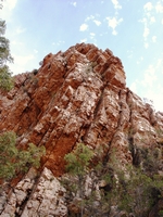
Orange rocks of tilted sedimentary strata towering above Jesse Gap
Caterpillars are again represented by all the Aboriginal rock paintings in Jesse Gap. These caterpillars formed Emily and Jesse
Gaps as well as many of the topographic features around
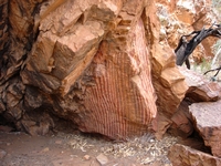
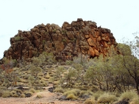
Corroboree Rock is an eroded remnant of ancient rock strata known as the Bitter Springs Formation. It is estimated to be about
800 million years old. This rock formation is the result of successive layers of silt deposited in the shallow salty sea water
in which algae grew. Over millions of years the silt was compressed into layers of rock. These layers have been tilted
vertically by the folding process. The rocks containing dolostone or magnesium carbonate have been weathered to a mottled dark
brownish black. The orange and white colours indicate tropical weathering which occurred 60 million years ago. Ref: Signage
at the site.
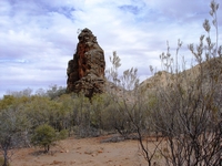
Looking at Corroboree Rock from the narrow side.
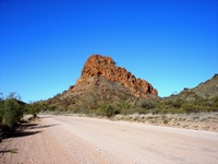
The road in passes Trephina Bluff, which can be seen from the campsite and the cliff top walks. There is a small tent only camping
site on the edge of the creek close to the Bluff.
We reached Trephina Gorge Nature Park where a well spread out Campsite run by
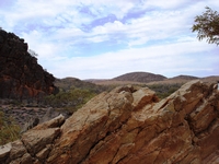
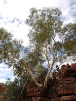
The walk at first climbed to the top of the orange brick like walls above the creek bed.
The first walk we took runs along the top of the gorge on one side of Trephina Creek, before descending into the sandy creek bed to
return to the campsite. There are small waterholes depending on seasonal conditions. Walks are very clearly marked, using
a different coloured spot on the marker posts for each walk.
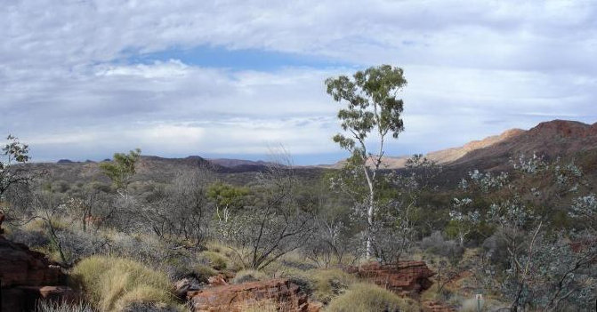

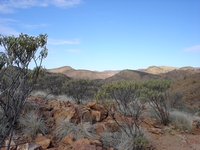
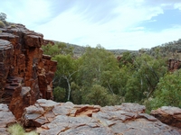
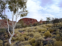
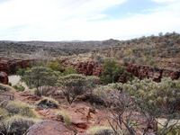
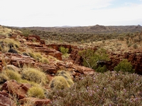
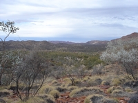
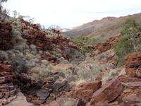
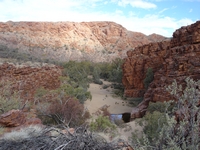
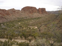
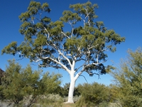
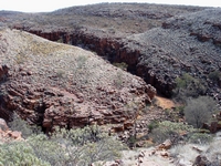
The wide valley extends to the east, lined by distant ranges.
The John Hayes Rockhole is accessed by a stony track which follows along the John Hayes Creek bed. This presented some difficulties for our larger vehicle. There is a small basic campground at John Hayes Creek. Access is not suitable for caravans.
There is a ten kilometre ridge top walk linking the John Hayes and Trephina Gorges, which we did not take. To achieve this walk
in daylight requires a car journey one way.
The Chain of Ponds walk follows the start of the ridge top walk, giving views across the John Hayes Creek gorge, as well as back into
the ranges to the south and west, before descending into the gorge and following the creek which has seasonal pools and rock holes.
This walk takes an hour and a half. We only climbed as far as the look out after which the trail descends in the John Hayes
Creek and follows the creekline back to the parking area. Some rock scrambling is required.
We set out early in the morning on the panorama walk.