Want to know more? Ask us
Home > Travelogues > 2008 Travelogues Index > Kings Canyon
travasmtc2008032001.jpg

Continuing west on the Mereenie Loop road (permit required) which runs from Hermannsburg to Watarrka National Park and Kings Canyon, we passed the turnoff from the West MacDonnells and Gosse Bluff, with Gosse Bluff dominating the landscape as we continued on. 

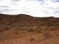
We saw numerous feral horses, donkeys and camels on the plains. 

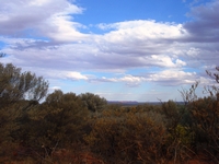
The landscape changed rapidly when we reached Kata Pata Gap as we left the plains and edged around the ridges and through passes. We reached a lookout giving glimpses to the George Gill Range in the distance.  When we reached the National Park, a bitumen road took over from the rough and corrugated Mereenie Loop Road. 

The western end of the George Gill Range contains Watarrka National Park including Kings Canyon. This range can be glimpsed in the distance from a lookout and parking area.  The ranges rise starkly from the plains which we were about to descend down into.

Kings Canyon was named in 1872 by explorer Ernest Giles after Fieldon King, a sponsor of his expedition.

Arriving at the Kings Canyon resort on the edge of the park, we went to the pleasant Kings Canyon Caravan and Camping area, and watched the setting sun’s rays break through the clouds and light up the range.   We booked in for two nights, to rest after the Rim Walk which we were to take in the morning, and to allow us time to see Kathleen Gorge the following day as we continued on our journey through Central Australia. 


A popular camping alterntive is Kings Creek Station campground for Central Australian outback experiences with the station family who support their special charity Conway Kids


The morning was fine and clear, so we left early for Kings Canyon to start the climb before it got too hot.   On days forecast to be over 36°C the full rim walk must be commenced prior to 9 am. 

Dingoes can be heard howling at night, and we found our sullage hose had been dragged away during the night. Dingoes can be seen foraging in the campgrounds, even in the day time.   

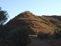
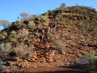
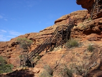
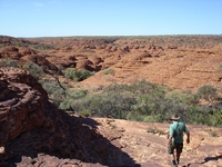
There are two walks; with one at floor level going deep into the canyon and totalling 2.6 kilometres return.  We choose the more challenging rim walk of six kilometres.  The climb to the rim starts with a steep ascent to a height of around 100 metres. Steps have been cut into the stone.  Even with an early morning start, there were a number of tour groups already climbing up the trail.  This is the only way up as the walk is set to be taken in a clockwise direction.

After a short pause to admire the view, the climb continues.

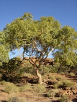
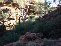
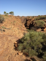
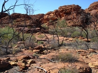
A few trees survive on top of the ranges, despite the dry and stony environment. 

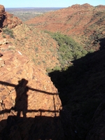
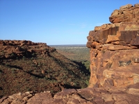
Looking out of the canyon across the plains towards the south west from the rim. 

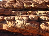
Tilted strata meeting straight strata.

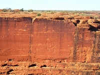
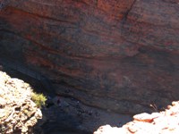
The south wall of the canyon has a sheer drop of around 100 metres to where rubble has made a gentler slope.  Iron oxide has stained the surface of the white sandstone.  A mysterious series of concentric oval marks on the cliff face can be seen.  The explanantion given is not convincing.

The top layer of Mereenie sandstone of is around 400 millions years old, and the lower Carmichael sandstone is around 440 million years old and is softer.  The canyon was formed from a fissure through both layers of the sandstone, with the Carmichael sandstone eroding faster.  Eventually the overhanging Mereenie sandstone broke away, leaving the sheer walls. 
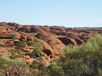
The top of the ranges has been eroded into a vast area of striped sandstone domes 

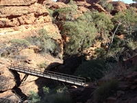
Looking out of the canyon from Cotterill’s Bridge.  Jack Cotterill pioneered tourism at Kings Canyon.  In 1962 his son Jim and an Aboriginal man built a bridge across a deep crevice to give access to a lookout giving spectacular views of the canyon. It was made of timber and slabs of sandstone, held together with fencing wire.  This bridge collapsed in 1991 and has since been replaced by a sturdy metal bridge. Jim Cotterill now owns Jim's Place, a roadhouse with a camping area and accommodation, at Stuarts Well on the Stuart Highway ninety kilometres to the south of Alice Springs.

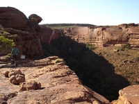
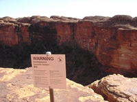
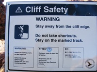
Despite signs warning about the dangers of unstable cliff edges, people walked to the edge of the rim.

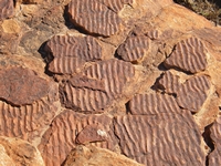
Ripples on an ancient ocean floor have been captured in these ripple rocks. 


A series of steps climbs down to and a bridge crossing the Garden of Eden.  

The lush growth is in a shady and moist creek, formed from an eroded fissure through the Mereenie sandstone, with an impervious layer of shale between the Mereenie and the Carmichael sandstone layers forming a floor to hold the water.  With small pools it is a haven for wildlife as well as plants. 

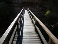
Crossing the bridge at the Garden of Eden.

Looking back to the bridge and the valley as we climb the other side.

More steps take the walkers back to the top of the canyon. 

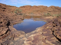
Back on the roof of the range, this pool of water has persisted in a dry environment.

A little further along the trail, I caught a glimpse of a canyon on our right, and discovered the path took us around to look across to the most colourful of the canyon walls.  We were now on the side of the canyon from where we looked across to the mysterious circles. 

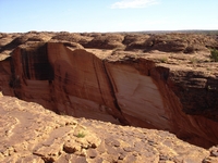
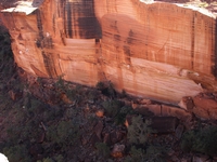
The lighter colour indicates that the slippage is much more recent that the opposite wall, above which we were now standing above. The lightest coloured patches were known to have had slippage as recently as sixty years ago.  The dark rusty streaks were formed by water which had dissolved iron oxide from the rocks leaving the stains from where it trickled down the rocks and evaporated. Algae has left green and black stains.  The morning light kept the wall in shadow so the colour of the cliff has not photographed well.  

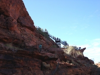
Again, warning signs show the danger of the cliff edge.  The following picture continues on from the left of the previous. Look for a white spot on the top of the cliff in the centre of the picture.  People are sitting on a jutting overhang of only around three metres in thickness and extending several metres over the canyon.  Just to their right, one group are sitting on the edge and another group of people are walking close to the undercut cliff edge on the face near Cotterill’s lookout.   

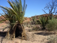
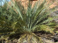
West MacDonnell Range Cycads grow on top of the range; these are an ancient species from a time when dinosaurs roamed the Earth and the area was a rainforest.  They grow very slowly, and the one on the right is estimated to be 400 years old. 

We begin the long descent to the valley floor.  This is not as steep as the climb at the start of the Rim Walk.  See details of all the walks here

A hundred metres or so below us on the floor of the canyon these dots are a group of people who have just reached the end of the Kings Creek walk through the canyon floor.


Signage at the start of the Giles Track, which runs from Kings Canyon to Kathleen Gorge.  It did not look well used. 


GILES TRACK 22 Km 2 Days One Way
 

We took the easy way to Kathleen Gorge. 
tn_georgegillra.jpg tn_mereeniedonkey.jpg tn_kingstree.jpg tn_kingsclimb1.jpg tn_kingsclimb2.jpg tn_kingsstrata.jpg tn_kingsentrance.jpg tn_kingscotterilbridge.jpg tn_kingssthface1.jpg tn_kingssthface3.jpg tn_kingsrooftop.jpg tn_kingsripplerock.jpg tn_kingsedensteps2.jpg tn_kingsedengarden.jpg tn_kingsedenbridge1.jpg tn_kingsedenbridge2.jpg tn_kingsedenstepsup1.jpg tn_kingsnorthglimpse.jpg tn_kingspool.jpg tn_kingsnth4.jpg tn_kingsnth2.jpg tn_kingsnth3.jpg tn_kingsgilestr.jpg tn_kingscycad1.jpg tn_kingscycad2.jpg tn_kingsdescent.jpg tn_kingsfloor.jpg tn_kingssign.jpg

The recently fallen rocks can be seen at the base of the cliff, where vegetation has covered over older falls. The slope of the south face further increases the dangers of walking close to the edge.

From signage at the site: The circular markings on the south wall were probably formed by the release of stress when the Mereenie Sandstone cracked.
Continue reading >

Back to top ^

Kings Canyon in the Watarrka National Park.
For details of road conditions, distances and travel times on sealed and usealed roads see question and answer West Macdonnells and on to Kings Canyon

For more about which campground to choice see Kings Canyon Resort or Kings Creek Station.

News: El Questro and Kings Canyon Resort are back under Australian ownership, with the purchase of these resorts from Delaware North in February 2021 by G' Day Group Holdings.

Australia So Much to See


Copyright (C) 2013 AustraliaSoMuchtoSee.com. All reights reserved
< Previous
Next page >
Home
Travelogues
Tips and Hints
Lists and Links
Q & A
Contact
< Previous
Next page >
Home
Travelogues
Tips and Hints
Lists and Links
Q & A
Contact