Australia So Much to See


< Previous
travasmtc2008012004.gif
Next page >
Home
Travelogues
Tips and Hints
Lists and Links
Q & A
Contact
< Previous
travasmtc2008012004.gif
Next page >
Home
Travelogues
Tips and Hints
Lists and Links
Q & A
Contact
Home > Travelogues > 2008 Travelogues Index > Around Kununurra
Touring the East Kimberley 2008 – we continue sightseeing in and around Kununurra, including Mirima National Park, the Ord River Irrigation area, Butterfly Cave and find Aboriginal rock paintings and engravings.
 

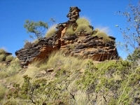
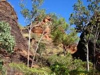
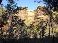
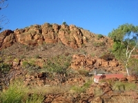
We stayed at the Hidden Valley Tourist Park on the north east edge of the town of Kununurra while we replaced our solar panels. These had proved faulty and were replaced under warranty, but we had to do the work and wait for the replacement panels to arrive. Although all parks were crowded, being peak tourist season and with the weekend of the annual Show approaching, we chose Hidden Valley as it was quiet on the outskirts of town, backing onto the small Mirima National Park which is also known as Hidden Valley. The setting sun lit up the banded sandstone hills at the back of the park.  Here the knob of rock stands like a statue, and a climber can be seen in the col to the left. 

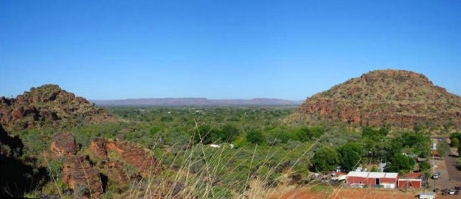
Paths from the caravan park go into Mirima, but it is easier to take the marked walks from the car park within the park.  These include a trail with signage identifying the common trees and shrubs, as well as taking us to various look out points over the town. This view looks across the light industrial area across to the highest point in Kununurra of Kelly’s Knob and over the Caravan Park. Our caravan is hidden under the big dark green trees at the centre of the picture.   

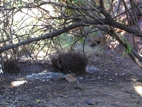
Bower birds are common in and around Kununurra.   This male is standing proudly in his bower, surrounded by turquoise objects and pieces of glass. 

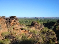
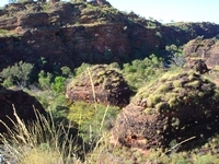
A small gap high up in the domes at Mirima gives glimpses of the Ord Valley and the town of Kununurra

This ‘statue’ on the crest was also visible from the caravan park.


On the opposite side of the road to the caravan park is Kelly’s Knob – the highest point in the town where telecommunications aerials are. 

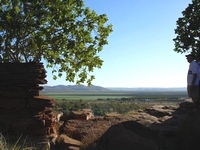
You can’t access peak of Kelly’s Knob, however a lookout on an adjoining rock gives good views across the town and Ord River Valley. 


Smoke to the right of the panorama is from clearing old crop residue ready for the next planting. 

Fresh locally grown vegetables are plentiful in Kununurra, as are melons of all types.  Each Saturday a market is held in the town centre, and the local fruit and vegetable stalls are popular with visitors.  Melons, pumpkins and beans are successfully grown and sold around Australia at times when other regions are unable to produce these crops. 

Mangoes are also a popular crop, again being able to produce fruit at a time that does not compete with Queensland mangoes.  Mangoes are also sold overseas.  Other crops include bananas, hybrid seeds for vegetables and flowers, maize and sorghum for cattle fodder and the oil seed chia; a relatively new crop in the region.  


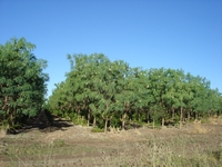
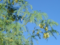
Many of the farms have turned from food crops to the lucrative Indian Sandalwood.  This is grown on host trees, often using the local native Dragon Flower tree.  A progression of three species of trees is planted as hosts.  Sandalwood is grown for export mainly by companies who have leased or purchased land along the Ord River. 

Downstream of the Lake Kununurra Diversion dam, a network of gravity fed irrigation channels is fed from Lake Kununurra dam to services the plantations.

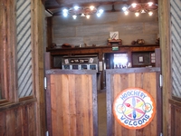
The Hoochery is a popular place to taste rum and rum products. 

Sugar cane is no longer a viable crop in the Ord River Irrigation Area, as they cannot compete with world markets. 


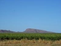
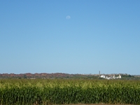
The sugar mill, seen here beyond a maize crop, was being dismantled.  Rice and cotton were both trialed in the early stages of theOrd River irrigation project but were also not viable crops, mainly due to insect pests in cotton and magpie geese in rice crops. 

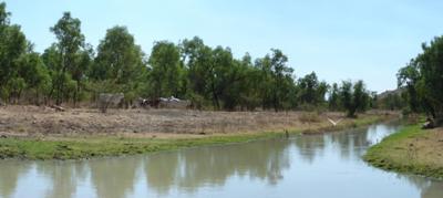
This channel marked the end of the irrigation area north eastern edge.  Cattle sat along the edge and a large White Egret enjoyed the fresh water.  

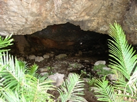
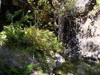
A little way further on an unmarked track, we found the Butterfly Cave.  This tiny cavern where a stream runs out of the range was the resting place for hundreds of black and white butterflies.  A truly enchanting place. 


The pool serene and cool as the water flows from the Butterfly Cave

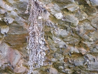
Hundreds of butterflies are resting on the cool cave ceiling.


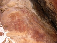
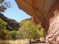
To the west of Kununurra we took a narrow and winding track to the Deception Ranges.  A colourful sandstone overhang is rich with ancient Aboriginal rock paintings.  These include rows of dots, in addition to the more commonly seen Kimberley painting styles such as sprayed hand prints, animals and reptiles in red, orange and white.  There were also engravings in the rock.


travasmtc2008012003.jpg travasmtc2008012002.jpg tn_mirimabower.jpg tn_mirimastatue.jpg tn_mirima3.jpg tn_mirima4.jpg tn_mirima5.jpg tn_mirimacentre.jpg tn_kununurrakellysview.jpg tn_kununurrakellys.jpg tn_hoochery.jpg tn_oiasandalwood.jpg tn_oiacrops.jpg tn_oiadragonflower.jpg tn_oiarefinery2.jpg tn_butterflycavern.jpg tn_butterfliescave.jpg tn_butterflycave.jpg tn_kununurrarockpainting.jpg tn_kununurrarockoverhanf.jpg tn_oiairrigationchnl.jpg
Copyright (C) 2013 AustraliaSoMuchtoSee.com. All rights reserved
Ord River Irrigation Area
Want to know more? Ask us
Continue reading >

Back to top ^