Australia So Much to See


Copyright (C) 2013 AustraliaSoMuchtoSee.com. All reights reserved
< Previous
Next page >
Home
Travelogues
Tips and Hints
Lists and Links
Q & A
Contact
< Previous
Next page >
Home
Travelogues
Tips and Hints
Lists and Links
Q & A
Contact
Home > Travelogues > 2019 Travelogues Index  - Lake Grace, Tarin Rock, Kukerin and North Dinninup
Want to now more?
Contact Us
Back to Top ^
Back to Index >

Lake Grace to North Dinninup

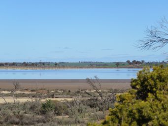
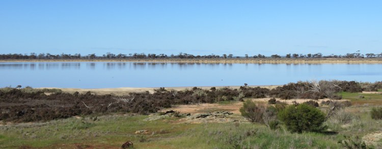
Lake View Picnic Area (Salt Lake Lookout)
Looking across the lake to a farm in the other side.  This country has many chains of salt lakes.
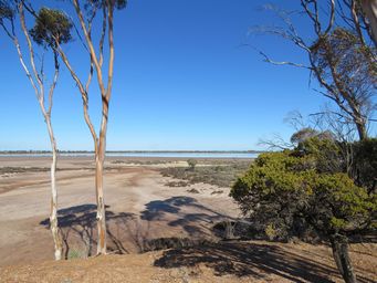
Looking to the northern end of the lake from the picnic area. The lake is one of many in a line. 

A small unsealed parking area with picnic tables overlooks a salt lake, but unlike most that were dry, this contained water. A pleasant short stop fifteen kilometres north of Lake Grace.

On this occasion was did not stop in the town; a town that we have visited and driven through many times before, and used to live in during the 1970s.  The town has grown since then, and is a centre with shops and services, particularly for agriculture. In 2017 we stayed at the caravan park to have repairs done by the auto electrician. 

The road crosses Lake Grace eight kilometres west of the town, and there are viewing areas. 

Kukerin townsite is two kilometres by road from the Wagin – Lake Grace Road, with two entrances which converge before reaching the small town.  This small town has grain receival bins, a hotel, a general store, a newsagent which is also the Post Office agency, and a primary school. 


Kukerin was gazetted in 1912, a year after Lake Grace which is 43 kilometres further east.  


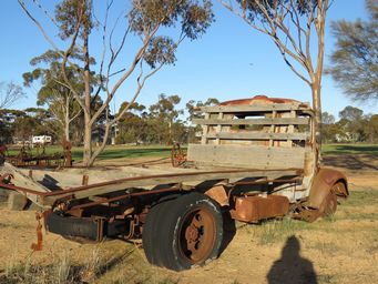
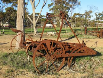
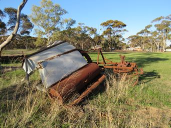
While the agricultural show as such is no longer run each September, the Kukerin Agricultural Society first moved to running Trach Mach, a vintage machinery show.  A line of old machinery on the edge of the grounds is a memory of this.  Now the Society hosts the Kukerin Creekbed and Burnout Competition each September. 


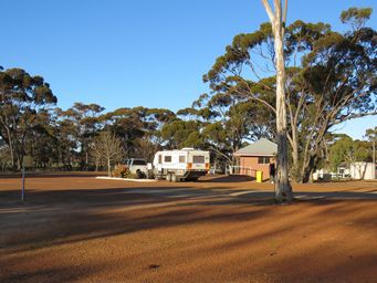
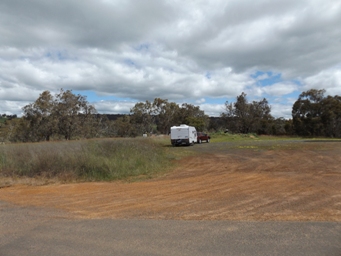
A short walk down to the river from the camping area goes to the river (above left), the bridge, and to the right, the remnant piles of the much lower former bridge.  Above right shows the fairly level camping area as the road junction, with signs at the bridge just visible to the left of the parked caravan. 
Tarin Rock Nature Reserve
Lake Grace

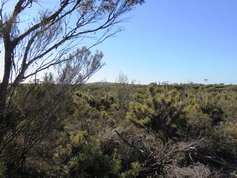
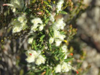
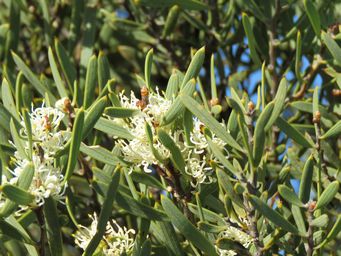
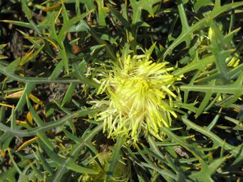
Tarin Rock and the nearby Tarin Rock North Nature Reserves cover around 4,000 hectares of predominantly yellow sandplain country, which is very rich in wildflowers particularly during spring. 

Just stopping at a small roadside rest area, I was able to see many species of wildflowers coming into bloom. 
 

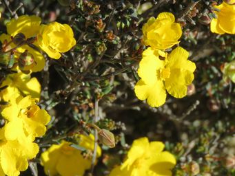
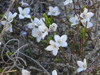
The gleaming white Boronia subsessilis above right, fluffy Grevillea uncinulata below left, and Hakea cygna subsp cygna with lovely striated foliage below right.  Further down the golden Hibbertia gracilipes lower left, and Banksia cirsioides lower right. 

The showground, which used too host a vintage machinery show, now has an avenue of old farm equipment on display, 

Kukerin

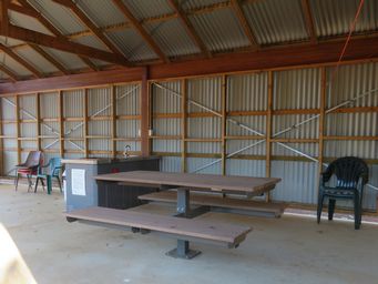
Above left shows the solid base caravan area, a drive through site, and the amenities block.  Above right shows seating, barbecue and sink in the semi enclosed camp kitchen. 

Resources

Dumbleyung Shire – Wildflowers

Wikipedia - Blackwood River 
341_small_lake_img_4742s.jpg 341_small_lake_img_4743s.jpg 750_banner_small_lake_img_4751sc.jpg 341_hibbertia_gracilipes_img_4773c.jpg 341_tarin_rock_nr_img_4775.jpg 341_grevillea_uncinulata_img_4769c.jpg 341_hakea_cygna_subsp_cygna_img_4803.jpg 341_banksia_cirsioides_img_4753.jpg 341_trigwells_bridge_img_4858.jpg 341_kukerin_showground_img_4834.jpg 341_kukerin_showground_img_4837.jpg 341_kukerin_cp_img_4849.jpg 341_kukerin_showground_img_4833.jpg 341_kukerin_cp_img_4847.jpg 341_kukerin_cp_img_4848.jpg 341_kukerin_cp_img_4846.jpg 341_kukerin_cp_img_4842.jpg 341_kukerin_cp_img_4845c.jpg 341_trigwells_bridge_camping_2014_dscf0734.jpg 341_boronia_subsessilis_img_4779.jpg
See photos of the Blackwood River in flood near Dinninup in 2005
In 2021 we revisit Tarin Rock Nature Reserve and see more spring wildflowers.
In 2021 we revisit Lake Grace, driving through in a wet season.

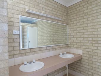
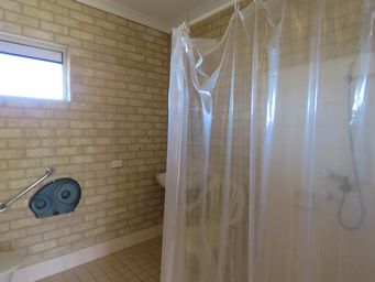
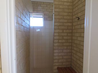
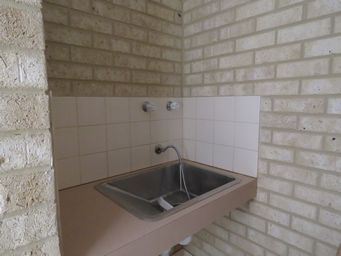
The small shire run Kukerin Caravan Park is excellent.  See our review on Best Caravan Parks.  Photos above show hand basins, baby bath, disability access bathroom, and shower recess.

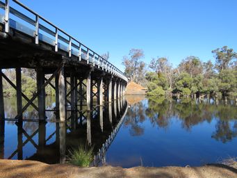
Trigwell’s Bridge

Crossing the Blackwood River, the current all weather bridge replaced the old one which use to go under in winter.  Camping is allowed at the junction of the Boyup Brook-Arthur Road and Trigwells Bridge Road.  There is good unserviced camping at Eulin Crossing upstream of Trigwells Bridge accessed via Eulin Crossing Road. 


The 300 kilometre long Blackwood River begins at the junction of Arthur River and Balgarup River near Dead Horse Swamp, which is not accessible by road, around ten kilometres direct line from Trigwells Bridge.  The river has a total catchment area of 28,100 square kilometres, much of this in the wheatbelt, and reaches the Hardy Inlet at Augusta.

This last stop concludes our 2019 trip to outback South Australia.