Australia So Much to See

A. Are you looking for the quickest way to get to Broome, a scenic route to tour over a period of time, or an off the black top adventure
route? If looking for the quickest route, Option 1 on sealed roads will be the winner.
Roads I can recommend depend
on what sort of off road caravan you have. Is it a dedicated top of the range off roader, or is it an off road model of a standard
caravan brand? Unless it is dedicated true off roader, I cannot recommend roads such as the Tanami Road, Gibb River Road, Plenty
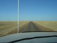
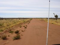
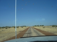
Highway or Donohue Highway, although their condition does vary from time to time. The Tanami will never be all easy going.
The
following options all share the same route from Sunshine Coast to Winton. A “mix and match” can be made of the different suggested
routes in the above, further increasing your choices.
Please note the Google Maps has changed some of the routes linked for these options, and may not include the roads
I had intended.
Option 1 Main Highways 4,712 kilometres: This is the quickest and easiest route and all on sealed
highways.
This route takes the Barkly Highway from Mount Isa to Three Ways, the Stuart Highway to Katherine, the Victoria Highway
to Kununurra, and the great Northern Highway to Broome.
Option 3 Gibb River Road 4,729 kilometres:
This route shows the scenic “short cut” taking in the Gibb River Road, but instead of going
on to Derby then Broome, take the Leopold Downs Road and see Windjana Gorge and Tunnel Creek.
Option 2 Tablelands instead of Barkly 4,799 kilometres:
Similar to above, with a variation of the Tablelands Road to Cape Crawford
in the Northern Territory, on sealed roads but not Highways width or quality. Much of this is through the treeless plains of
the Barkly. There are further options here of taking the unsealed Ranken Road from the Barkly Highway north west from the Barkly Highway
to meet up with the Tablelands Highway and/or the Barkly Stock Route west to the Stuart Highway. There is nothing special to
see on either of these unsealed variations.
My travelogues cover
Gibb River Road and the Tanami Road,
Northern Territory and parts of Queensland
Gary
Junction Road as suggested in Option 8. .
In addition to my travelogues on most, but not all, of these areas and routes,
other Q&As cover the Tanami Road, the Stuart Highway, the Barkly Highway, and taking a caravan on the Gibb River Road.
See
Q&A Q21 Travelling the Tanami with particular reference to distances between fuel outlets.
See Q&A Q10 Stuart Highway Alice Spring to Darwin camping
See Q&A Q24 Fuel stations on the Stuart Highway
See Q&A Q12 Mount Isa to
Darwin camping and fuel
See Q&A Q29 Katherine to Kununurra camping and fuel
See Q&A Q7 Should I take my Off Road Caravan on the Gibb River Road?. The Gibb River Road would on most occasions be the least punishing of the unsealed roads in Options 6 and 7. It is also the most scenic.
See Q&A Q1 Fuel on the Gary Junction
Road
Option 4 Buchanan 4,536 kilometres:
Basically the highways, with a “short cut” on the Buchanan Highway, an unsealed road but OK for
a good off road caravan.
Option 5 Buntine and Duncan 4,287 kilometres:
Basically the highways, with a “short cut” on the Buntine Highway and Duncan Road (unsealed
roads but OK for a good off road caravan).
Option 6 Looking for more dirt roads? 4,212 kilometres:
Note that this does not show the Donohue Highway, instead showing an arch further
north. From the total 4390 kilometres calculated by Google maps, taking the Donohue west from Boulia between map markers B and
C brings it back to around 4,212 kilometres. This option is the off the black top route, with the Donohue and Plenty Highways, and
the Tanami Road.
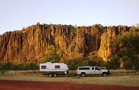
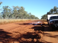
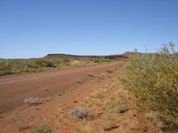
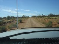
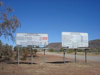
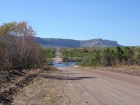
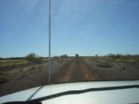
Option 7 Donohue and Plenty Highways, the Tanami Road plus Gibb River Road to Windjana Gorge then back to Great Northern Highway and
to Broome 5,066 kilometres:
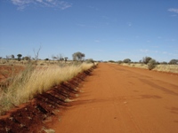
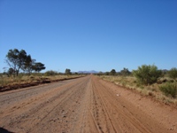
For a full outback dirt road experience including the beauty of the Kimberley, this is the ultimate drive. When travelling these roads, reduce tyre pressure and drive slowly. With a heavy rig, we found 25 psi cold was the best
compromise on tyre pressures for these corrugated roads.
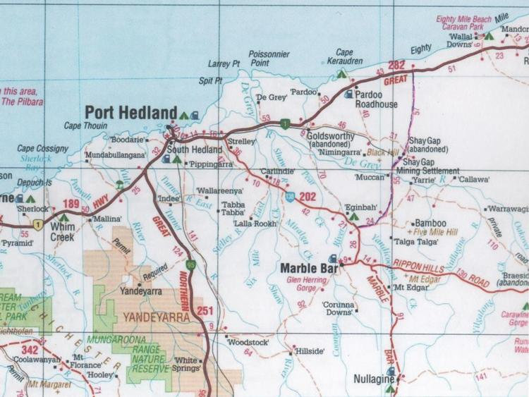
Option 8 Donohue and Plenty Highways, Gary Junction Road, Marble Bar totalling 5,114 kilometres or 4,952 kilometres if taking the
Boreline Road north from Marble Bar:
Sunshine Coast to Papunya 2,965 kilometres .
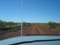
Papunya to Marble Bar via Gary Junction Road 1,435 kilometres, not shown by Google maps linked. This is a remote road, so you need to be self sufficient and be able to make repairs.
Marble Bar to Broome 714 kilometres or 582 kilometres if taking the Boreline Road north from Marble Bar.
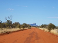
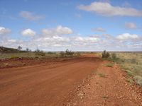
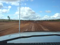
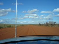
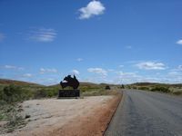
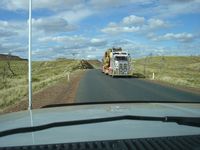
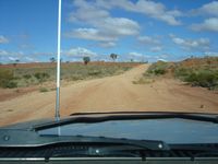
The Gary Junction Road is a better alternative to the Tanami in scenery, interest and road condition.
The Boreline Road has more of interest and better scenery than going via the Marble Bar Road and the Great Northern Highway.
